
What is recorded here
From the National Monuments Service (Archaeological Survey of Ireland) record KE009-075
Places near here
Photo credits
- Maker not stated on source page, www.pinterest.com
- Maker not stated on source page, www.flickr.com
- MickReynolds, Wikimedia Commons · CC BY-SA 4.0
- Maker not stated on source page, cz.pinterest.com
- Patrice78500, Wikimedia Commons · Public domain
- National Inventory of Architectural Heritage
- Maker not stated on source page, www.irishexaminer.com
- Maker not stated on source page, tr.pinterest.com
- Maker not stated on source page, nexusnewsfeed.com
- PST Sport; photographer not named, pstsport.com
- Maker not stated on source page, au.pinterest.com
 CastleCastle, unclassified · 1 yd
Explorer Tom Castle in Rattoo was a Fitzgerald stronghold that vanished completely, leaving only the wind to pick on nothing. Sir…
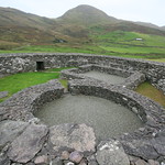 Ecclesiastical enclosure in RattooEcclesiastical enclosure · 265 yd
Explorer Tom Ecclesiastical enclosure in Rattoo holds a fake world record for being invisible, as it can only be seen via crop marks…
 Rattoo Church (in ruins)Church · 315 yd
Explorer Tom Rattoo Church sits there looking smug, guarding secrets it’d only spill after three pints. It’s been standing in that…
 Memorial stone in RattooMemorial stone · 329 yd
Explorer Tom Memorial stone in Rattoo started when two lads bet a pint that Margaret O'Dinighen would fit through a doorway. She…
 Round Tower348 yd
Explorer Tom Round Tower in Rattoo has a secret it would only tell after a few pints: that its top was replaced in 1880 because it…
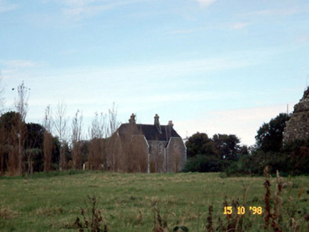 Rattoo HouseHouse · 388 yd
Explorer Tom Rattoo House in Rattoo is Venetian Gothic flash that scared off a bishop who thought it was too fancy for his boots. It…
 Fairy fort / earthen ringfort in SleveenFairy fort / earthen ringfort · 1017 yd
Explorer Tom Fairy fort in Sleveen caused the whole parish to argue about who owned the gate for three generations straight. It’s…
 Fairy fort / earthen ringfort in Bishopscourt NorthFairy fort / earthen ringfort · 1219 yd
Explorer Tom Fairy fort / earthen ringfort in Bishopscourt North was named after a goat, so naturally it’s full of character. The…
 Fairy fort / earthen ringfort in GlanerdallivFairy fort / earthen ringfort · 1387 yd
Explorer Tom This O'Corick’s fort in Glanerdalliv has no trace left, but it remembers when a bishop refused to visit. He said the…
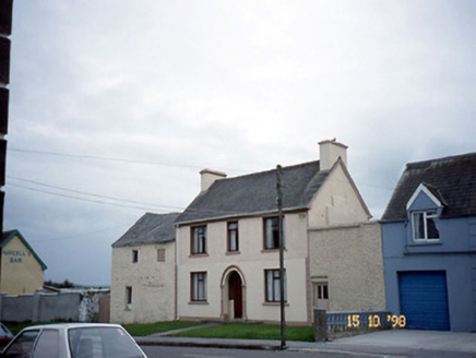 barracks1.1 mi
Explorer Tom Barracks in Benmore has a long-standing grudge with the weather, mostly because it’s now an outbuilding. The painted…
 Ballyduff GAA pitchGAA ground · 1.2 mi
 Mapped cemeteryCemetery · 1.9 mi
Explorer Tom Mapped cemetery in County Kerry was once offered by a cow who thought she had better claims on the land because she ate…
More archaeology and monuments in County Kerry · All of County Kerry

What do you know about this place?Tap to add a comment or ask a question