
What is recorded here
The ecclesiastical enclosure at Rattoo was probably connected to the one at Dysert (KE010-062002-) by an ancient roadway or togher (KE009-088----); according to the OSNB (1841) 'An ancient road now called White Horse ridge extends from the old church of Dysert, through the bog, as far as Rattoo'. Hurley (1982, 321)…
Read the whole record
From the National Monuments Service (Archaeological Survey of Ireland) record KE009-089
Places near here
Photo credits
- MickReynolds, Wikimedia Commons · CC BY-SA 4.0
- Maker not stated on source page, cz.pinterest.com
- Patrice78500, Wikimedia Commons · Public domain
- National Inventory of Architectural Heritage
- Maker not stated on source page, www.pinterest.com
- Maker not stated on source page, en.wikipedia.org
- Maker not stated on source page, tr.pinterest.com
- Maker not stated on source page, www.irishexaminer.com
- Maker not stated on source page, nexusnewsfeed.com
- PST Sport; photographer not named, pstsport.com
- Maker not stated on source page, au.pinterest.com
 Rattoo Church (in ruins)Church · 57 yd
Explorer Tom Rattoo Church sits there looking smug, guarding secrets it’d only spill after three pints. It’s been standing in that…
 Memorial stone in RattooMemorial stone · 71 yd
Explorer Tom Memorial stone in Rattoo started when two lads bet a pint that Margaret O'Dinighen would fit through a doorway. She…
 Round Tower86 yd
Explorer Tom Round Tower in Rattoo has a secret it would only tell after a few pints: that its top was replaced in 1880 because it…
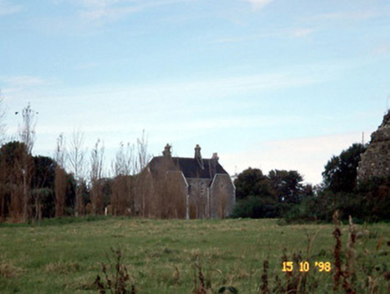 Rattoo HouseHouse · 194 yd
Explorer Tom Rattoo House in Rattoo is Venetian Gothic flash that scared off a bishop who thought it was too fancy for his boots. It…
 CastleCastle, unclassified · 265 yd
Explorer Tom Castle in Rattoo was a Fitzgerald stronghold that vanished completely, leaving only the wind to pick on nothing. Sir…
 Holy well in RattooHoly well · 265 yd
Explorer Tom Rattoo’s well has an imaginary fan club of lepers who were cured there, which is a bold claim for a closed-up spring.…
 Fairy fort / earthen ringfort in Bishopscourt NorthFairy fort / earthen ringfort · 1013 yd
Explorer Tom Fairy fort / earthen ringfort in Bishopscourt North was named after a goat, so naturally it’s full of character. The…
 Fairy fort / earthen ringfort in SleveenFairy fort / earthen ringfort · 1069 yd
Explorer Tom Fairy fort in Sleveen caused the whole parish to argue about who owned the gate for three generations straight. It’s…
 Fairy fort / earthen ringfort in GlanerdallivFairy fort / earthen ringfort · 1414 yd
Explorer Tom This O'Corick’s fort in Glanerdalliv has no trace left, but it remembers when a bishop refused to visit. He said the…
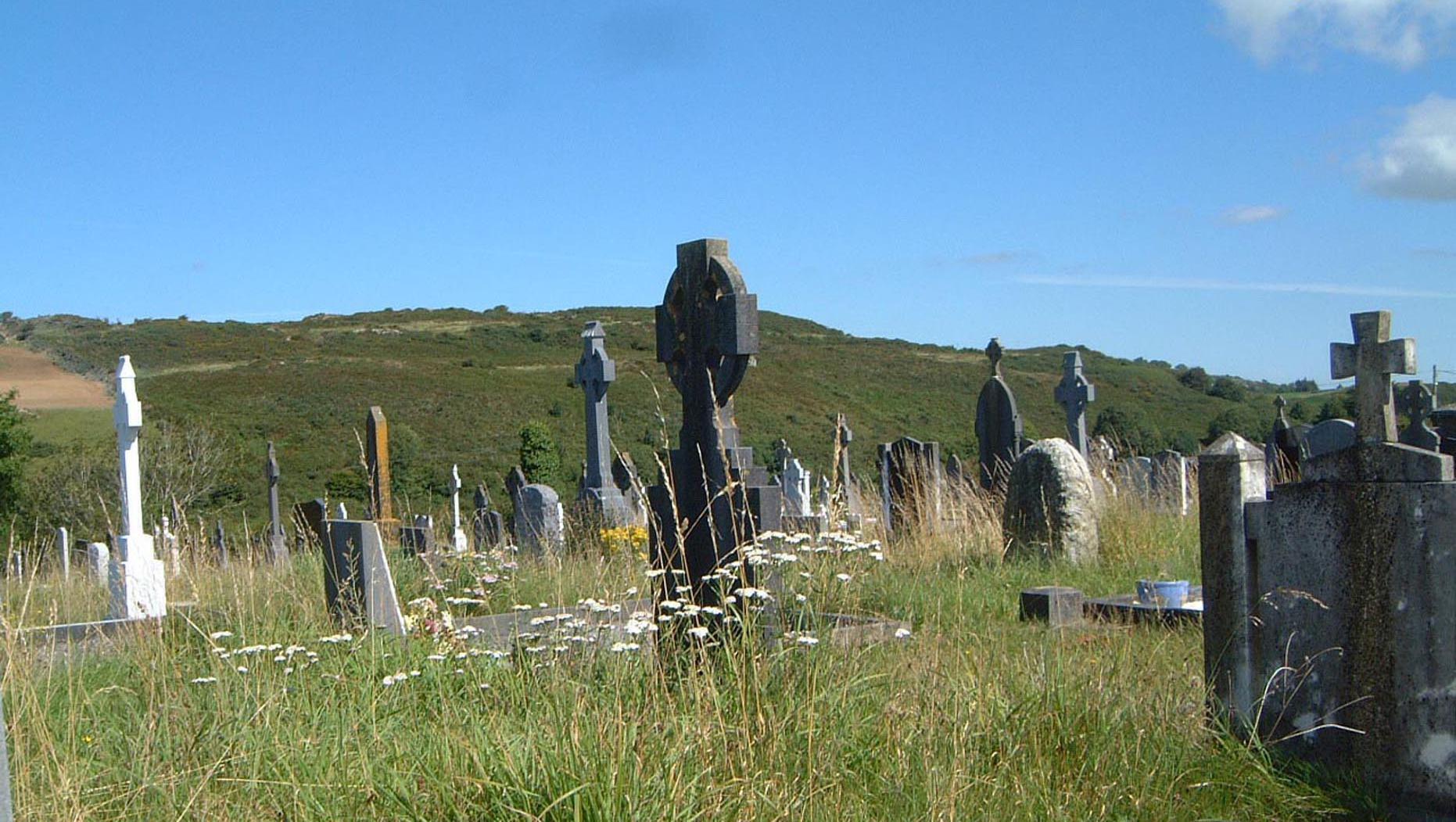 Rahealy GraveyardCemetery · 1713 yd
Explorer Tom Rahealy Graveyard is keeping its family tree strictly secret. I heard a great-uncle buried there once challenged the…
 Ballyduff GAA pitchGAA ground · 1.1 mi
 Mapped cemeteryCemetery · 1.9 mi
Explorer Tom Mapped cemetery in County Kerry was once offered by a cow who thought she had better claims on the land because she ate…
More archaeology and monuments in County Kerry · All of County Kerry

What do you know about this place?Tap to add a comment or ask a question