What is recorded here
White Horse Ridge Roadway or Bohergarraunbaun described by Toal (1995, no. 92) as follows; 'This ancient roadway is marked on the 1841-42 OS map as Bohergarránban. Though it does not appear on the later edition map, it is quite visible on the ground. It is possible that this roadway extended from the monastic settlement at Dysert (KE010-062002-) across the marshes to Rattoo, for it is recorded (Petrie, 1845) that a causeway extended from Rattoo Round Tower towards the River Brick and the 'bohergarránban' can be traced from the E side of the river across the marshes. 'An ancient road now called white horse ridge extends from the old church of Dysart, through the bog, as far as Rattoo' (O'Donovan, OSNB 1841). It would appear that this road was constructed in straight sections and had a consistent width of 2.75m throughout. It is visible for 1,830m. See also (KE010-062----)'.
In 1841 the Ordnance Survey recorded the following details; 'An ancient road [KE009-088----] now called White Horse Ridge extends from the old church of Dysert [KE010-062----], through the bog, as far as Rattoo [KE009-089----]. There is a fisherman still constantly at the place with a small bottomed boat, in which he ferries people who wish to make the short cut to Listowel across the Casán Ciarraighe now incorrectly anglicised the Cashen River' (O'Donovan 1983, 34). Outline of this road clearly visible on Digital Globe orthoimage taken between 2011-13.
See attached Google Earth orthoimages.
Revised by: Caimin O'Brien
Date of revised upload: 10 June 2022
The monument record does not grant public access. Check the route and ask the landowner before entering private land.
- What survives
- Recorded monument
Places near here
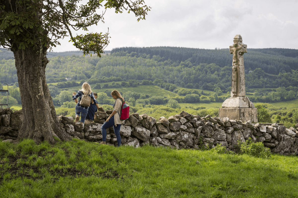 Dysert Church (in ruins)Church · 1597 yd
 Enclosure in BallyouneenEnclosure · 1655 yd
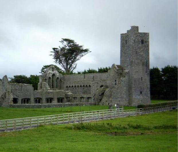 Abbey (in ruins)Religious house, Augustinian canons · 1.2 mi
 Font in RattooFont · 1.3 mi
 CastleCastle, Anglo-Norman masonry castle · 2.5 mi
 Crazy GolfHeritage attraction · 4.2 mi
 Bawn in GlouriaBawn · 4.6 mi
 Long StrandBeach / strand · 4.8 mi
 Clashmealcon CavesCave · 5.0 mi
 Lartigue MonorailMuseum · 5.5 mi
 John B. Keane GroveMemorial · 5.6 mi
 Bryan MacMahonMemorial · 5.6 mi
Other information
Photo: Credit not shown in the picture search · Rights wording not checked; contact us if this picture should be removed