
What is recorded here
Located at the W edge of a fairly level landscape and at the crest of the W-facing slope of the deep valley (Wth of top c. 250m; D c. 10m) of the S-N Hurley River, with the stream c. 150m to the W. The parish church of Rathfeigh (ME032-027----) is within a neglected rectangular graveyard (dims c. 55m NE-SW; c. 35m…
Read the whole record
From the National Monuments Service (Archaeological Survey of Ireland) record ME032-027001
Places near here
Photo credits
- Maker not stated on source page, www.pinterest.com
- National Inventory of Architectural Heritage
- Maker not stated on source page, sketchfab.com
- Maker not stated on source page, en.wikipedia.org
- Maker not stated on source page, www.pinterest.ru
- Maker not stated on source page, irisharchaeology.org
- Maker not stated on source page, commons.wikimedia.org
- Willow, Wikimedia Commons · CC BY 2.5
- Kieran Campbell, Geograph · CC BY-SA 2.0
 Holy well in RathfeighHoly well · 143 yd
Explorer Tom Holy well in Rathfeigh is marked by a lone thorn bush, which the Vikings definitely missed while getting lost looking…
 Delaney's MillMill (water) · 960 yd
Explorer Tom Delaney's Mill name really means 'The Place Where Delaney Forgot His Hat,' if you ask me. The water wheel machinery is…
 Mill House, Delaney's MillMiller's house · 976 yd
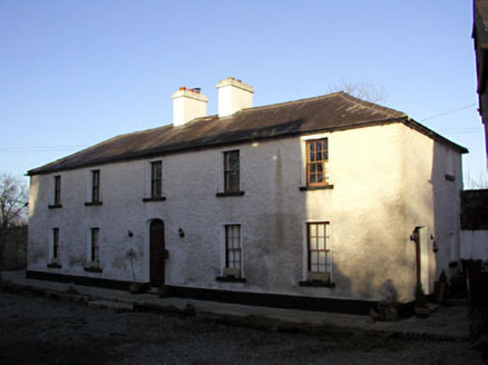
Explorer Tom Mill House at Delaney's would order triple chips with gravy and call it 'artisan comfort food.' It’s been a family-run…
 Stone head in Macetown (skreen By.)Stone head · 1.1 mi
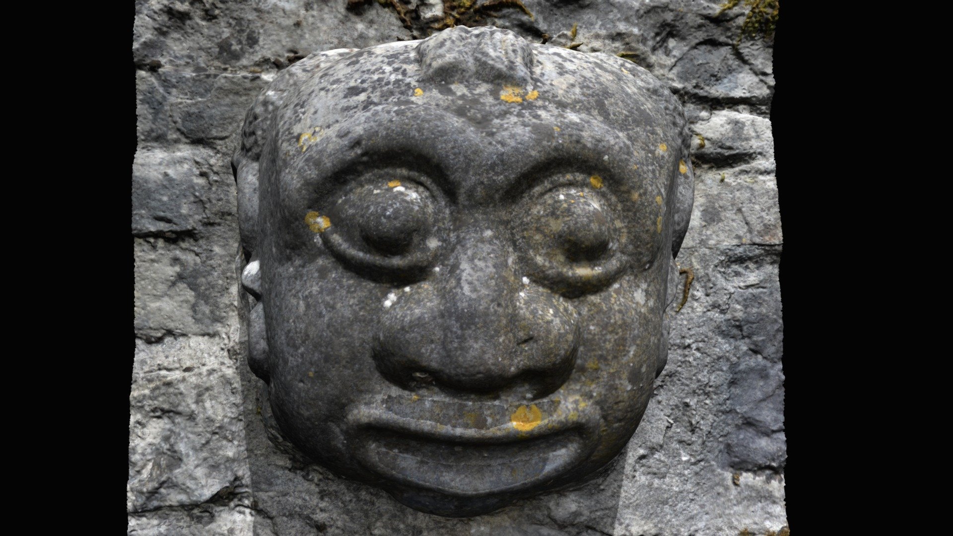
Explorer Tom Stone head in Macetown is stuck in a wall, probably losing an argument with the bricks over parking rights. Three heads…
 EnclosureEnclosure, large enclosure · 1.6 mi
Explorer Tom Enclosure here in Burtonstown was the stage for a fiddler who played until the cows came home. It’s a massive oval…
 Enclosure in DanestownEnclosure · 1.8 mi
Explorer Tom Enclosure in Danestown had a fox take charge of the operations for a solid fortnight last winter. The entrance gap is…
 Balrath WoodForest · 1.8 mi
Explorer Tom Balrath Wood is convinced a king visited last Tuesday just to check its leaf count, and it hasn't let anyone disprove…
 Fairy fort / earthen ringfort in Irishtown (skreen By., Timoole Par.)Fairy fort / earthen ringfort · 1.9 mi
Explorer Tom Enclosure in Irishtown is circular but only visible from two sides, so it's shy about its other half. It probably…
 St. Munnas GraveyardGraveyard · 1.9 mi
Explorer Tom St. Munnas Graveyard in County Meath would review its own visitors with two stars for 'too noisy' and one for 'bad…
 Church (in Ruins)Church · 2.0 mi
Explorer Tom Church in Roadmain refuses to fall down because it thinks it looks good doing it. It’s been holding its shape since the…
 European ash2.6 mi
Explorer Tom European ash in County Meath makes map makers look like amateurs because nobody can seem to find the right path to it.…
 CastleCastle, tower house · 3.3 mi
Explorer Tom Castle in Monktown is locked in an eternal feud with the rain, and honestly, it’s losing badly. You’ve got a Cistercian…
More archaeology and monuments in County Meath · All of County Meath

What do you know about this place?Tap to add a comment or ask a question