What is recorded here
Situated on a natural rise of ground with good views in all directions, with castle (WM005-009----) 60m to S and St. Dermot's Well (WM005-007----) 220m to W. Medieval church of Rathaspick depicted on the 1659 Down Survey map of Moygoish barony (NLI, MS 723-4). Present remains consist of a roughly rectangular shaped graveyard (approx. dims. 49m N-S x 63m E-W) enclosed by a post-1700 wall with medieval church ruins (WM005-008----) in N quadrant. Entrance gate at W angle. Graveyard contains headstones dating from the 1700s onwards.
Compiled by: Frank Coyne & Caimin O'Brien
Date of upload: 13 December 2016
Medieval burial ground associated with the church of Rathaspick, likely 13th to 16th century. Its location near a holy well and castle suggests a site of local religious and community significance.
The monument record does not grant public access. Check the route and ask the landowner before entering private land.
- What survives
- Recorded monument
Places near here
 Church in RathaspickChurch · 25 yd
 Site of CastleCastle, unclassified · 85 yd
 Ecclesiastical enclosure in RathaspickEcclesiastical enclosure · 170 yd
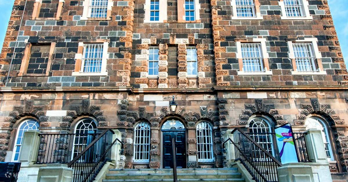 St. Dermots WellHoly well · 263 yd
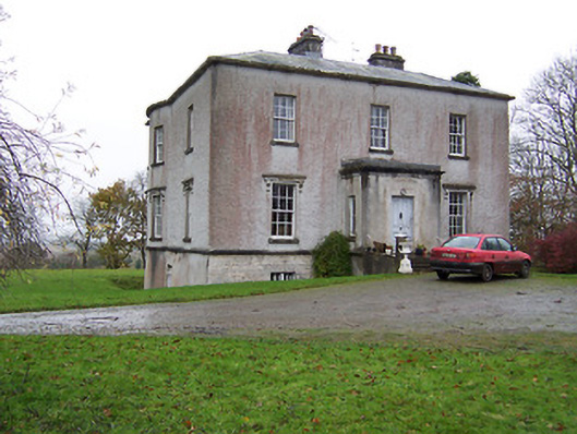 Crumlin Housecountry house · 700 yd
 Sweet ChestnutSweet Chestnut · 1004 yd
 OutlinedBawn · 1.2 mi
 Silver FirSilver Fir · 1.6 mi
 Edgeworthstown BypassMemorial · 4.6 mi
 Abbeyshrule AbbeyRuins · 6.1 mi
 Granard MotteMotte-and-bailey castle remains · 9.7 mi
 1798 Monumentmonument · 9.7 mi