What is recorded here
Situated on level to gently SW-facing terrain. Some low stony banks which may indicate a rectangular structure (dims. c. 12m x 4m) are all that remain of the church. There is a possible entrance at the W end and slight indications of a separate chancel at the NE. Other banks at the NE indicate an attached structure. The church is located at NW side of the graveyard which is a modern five-sided enclosure (dims. c. 60m E-W; c. 50m N-S) defined by an earthen bank (Wth 3m; int. H 0.5m; ext. H 1.1m) with external drystone facing except at the S where there is a modern mortared wall. The entrance is at the SE in this wall. The graveyard contains late eighteenth and early nineteenth-century headstones. A circular enclosure (diam. c. 115m) marked around the church and graveyard on the 1838 OS 6-inch map is now delimited by a farm lane at the W and N, but is not otherwise visible at ground level.
The above description is derived from the published 'Archaeological Inventory of County Wicklow' (Dublin: Stationery Office, 1997). In certain instances the entries have been revised and updated in the light of recent research.
Compiled by: Jean Farrelly
Date of upload: 11 October 2012
The monument record does not grant public access. Check the route and ask the landowner before entering private land.
- What survives
- Recorded monument
Places near here
 Church (site of)Church · 20 yd
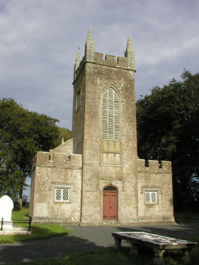 Saint John's Church (Preban)church/chapel · 145 yd
 Enclosure in PrebanEnclosure · 1018 yd
 Site of CastleCastle, unclassified · 1717 yd
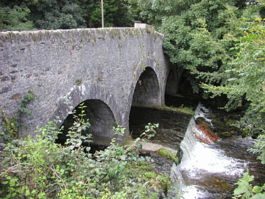 Ballinglen Bridgebridge · 1.3 mi
 1798 Lacey Brothers MemorialMemorial · 1.3 mi
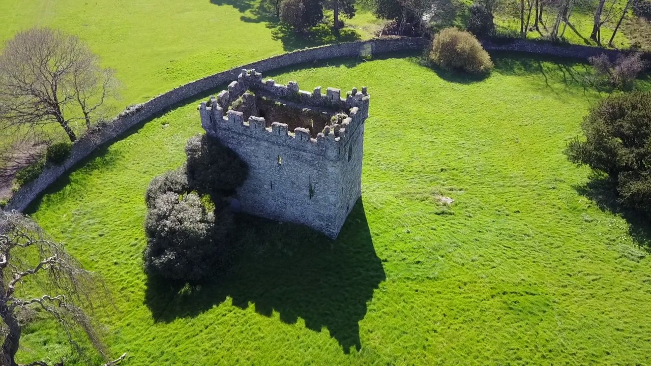 (Site of) Castle & RampartCastle, unclassified · 1.6 mi
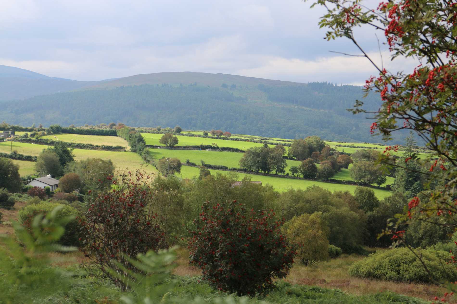 Roddenagh WoodForest · 2.0 mi
 Luke O'Toole MemorialMemorial · 2.1 mi
 Coolalug WoodWood · 2.2 mi
 Ballycumber HillMountain / peak · 3.0 mi
 Ballycurragh HillMountain / peak · 3.4 mi