What is recorded here
In level pasture overlooking Pollardstown Fen to the NNE. A roadside graveyard, triangular in shape (est. max. dims. c. 55m ESE-WNW; c. 45m N-S) is enclosed by a well-preserved stone wall with entrance gate and adjacent stone steps at E end of S (roadside) wall. A disused boithrín runs NW from the road along the E side of the graveyard. An earthen bank (int. H 0.4m; Wth 1.9m; ext. H 1.5m) and outer, flat-bottomed fosse (Wth 2.7m; D 0.3m) runs inside and parallel to the graveyard's S wall: the bank continues to run on inside the E wall (int. H 0.4m; Wth 0.9m; ext. H 0.2m), but is faced externally by the wall, with the area outside occupied by the boithrín which may run along the line of an earlier fosse? There is a gap (Wth 5m) in this bank, together with a short in-turning, opposite the E gable wall of the church (KD023-003----) which located in the N portion of the graveyard, but there no obvious corresponding entrance gap in the wall outside. Burials occur to the S of the church, and legible grave markers date from the 18th to the 20th-century. No longer in use. (www.kildare.co/Graveyard-Details.asp?ID=K018: Last accessed 16-04-2012)
Compiled by: Gearóid Conroy
Date of upload: 17 April 2012
The monument record does not grant public access. Check the route and ask the landowner before entering private land.
- What survives
- Recorded monument
Places near here
 Pollardstown Fen Nature ReserveNature reserve · 522 yd
 Enclosure in RathbrideEnclosure · 1164 yd
 Enclosure in PollardstownEnclosure · 1541 yd
 Church in RuinsChurch · 1728 yd
 TumulusCastle, motte and bailey · 1.1 mi
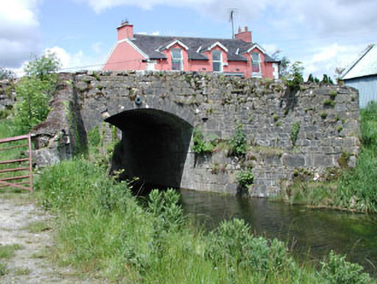 bridgebridge · 1.3 mi
 CastleCastle, unclassified · 2.1 mi
 Newbridge SilverwareMuseum · 2.4 mi
 Saint Fiachra's GardenHeritage attraction · 3.3 mi
 Bee-bee treeBee-bee tree · 3.4 mi
 Grand Canal WayVisitor information · 6.0 mi
 Bithia Mary CrokerMemorial · 6.5 mi