What is recorded here
In open, gently undulating pasture, bordering Carton Demesne to the SW. A roughly triangular area (max. dims. L c. 55m N-S; Wth c. 45m E-W) is enclosed by a mortared stone wall and contains the remains of a ruined church (KD006-007001-) in the N sector, and is the site of a possible nunnery (KD006-007003-). A gate on the W side gives access, and just to it's S the graveyard wall contains a blocked stone arch (dims. Wth 2.5m; H 0.5m) of uncertain function. Legible burial markers date from the 19th to the mid-20thC and the graveyard is no longer in use. The OSL (Herity 2002, 18) recorded 'a tombstone presenting ornamental carving and figures of animals', which was subsequently recorded by Lord Walter Fitzgerald (1903-5, 30-32) as an 18th century burial slab. The exact location of this monument is unknown.
Compiled by: Gearóid Conroy
Date of upload: 10 June 2011
The monument record does not grant public access. Check the route and ask the landowner before entering private land.
- What survives
- Recorded monument
Places near here
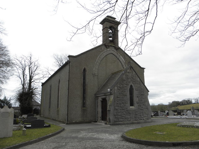 Church in OldcartonChurch · 11 yd
 IndicatedHoly well · 240 yd
 Lebanon CedarLebanon Cedar · 1367 yd
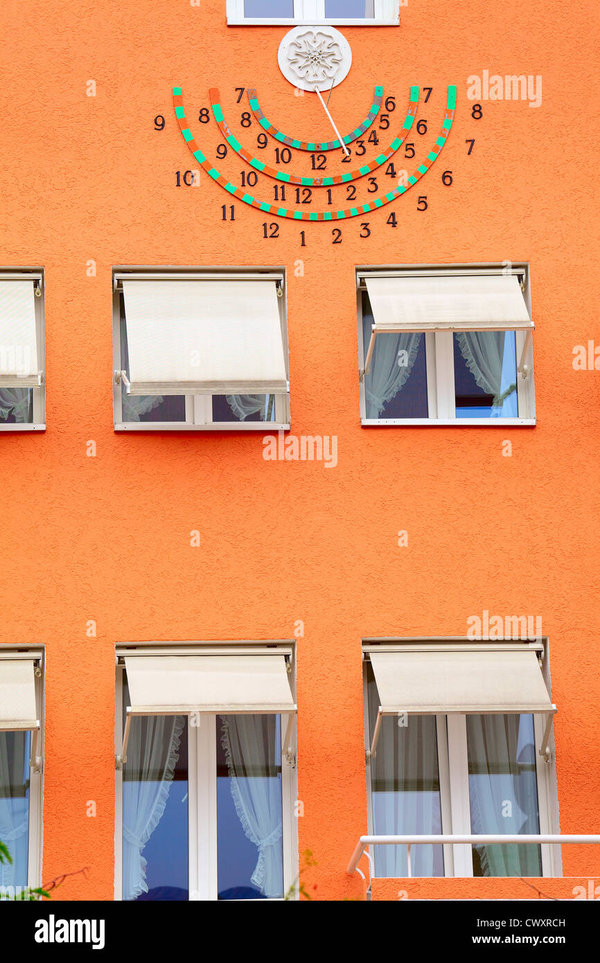 Sun clockMemorial · 1445 yd
 HermesMemorial · 1453 yd
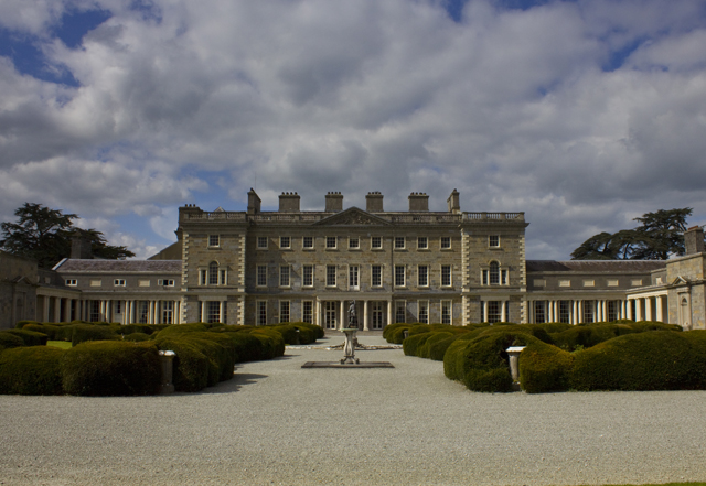 CartonHouse, 17th century · 1483 yd
 Enclosure in KilgraigueEnclosure · 1660 yd
 European YewEuropean Yew · 1.0 mi
 Ash HillMountain / peak · 1.3 mi
 Moygaddy Tower HouseRuins · 1.3 mi
 Moygaddy CastleCastle, tower house · 1.4 mi
 Hanwood GardensHeritage attraction · 1.7 mi