What is recorded here
Situated on low rise of ground overlooking River Shannon 320m to S. A low scarp or rise of ground defining the boundary of this graveyard is all that is now visible. No memorials or low stones marking graves are visible in the vicinity of St. Margaret's Church (LI004-014001-). According to landowner the graveyard was used as a children's burial ground. The extent of the graveyard is depicted on the OS 25 inch map as a narrow rectangular shaped area (approx. dims. 20m N-S x 68m E-W) to the E, S and W of the church. It is possible that this graveyard was only ever used as a children's burial ground.
The graveyard adjacent to St. Margaret’s Church was described in 1840 as following; 'Still-born children only are interred here at present‘ (OSL Vol. 2, 135-6). Begley (1906, 254) recorded the following; 'It is in a fair state of preservation, but appears to have been never used as a burial-ground'.
Compiled by: Caimin O'Brien
Date of upload: 04 December 2018
The monument record does not grant public access. Check the route and ask the landowner before entering private land.
- What survives
- Recorded monument
Places near here
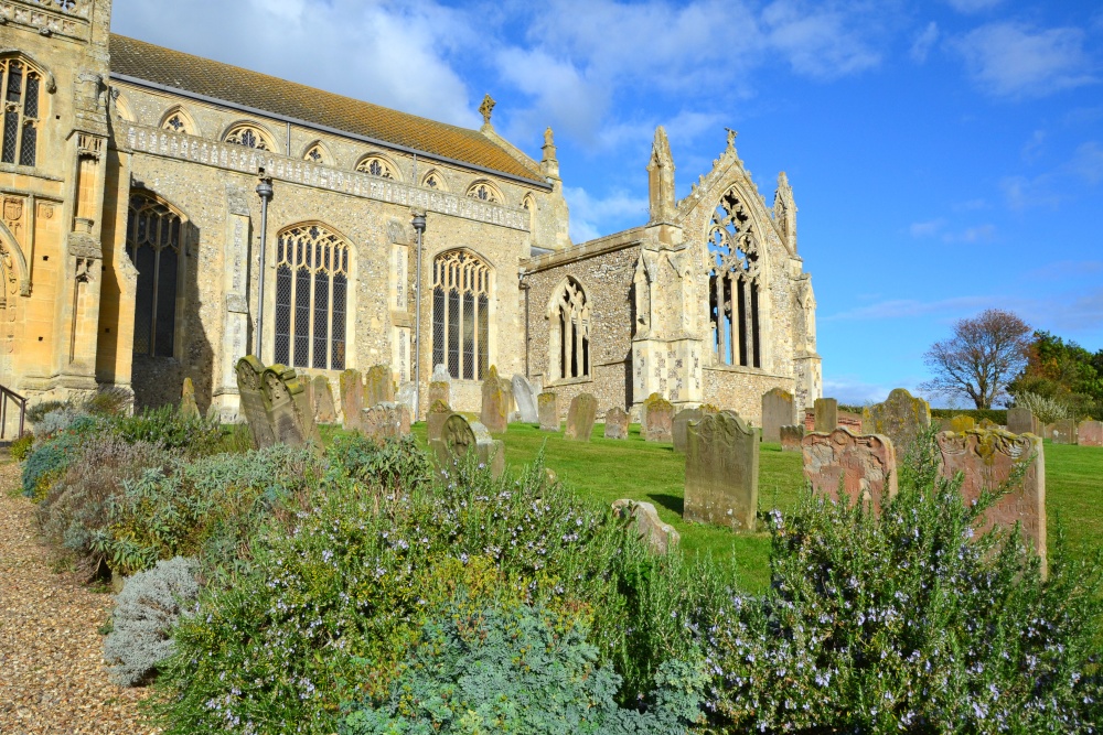 t. Margarets Church (in ruins)Church · 17 yd
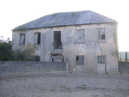 Churchfield Dairyhouse · 220 yd
 Sailors HaggardMemorial · 997 yd
 Castle Donnell (Site of)Castle, unclassified · 1274 yd
 Friary (Site of)Religious house, unclassified · 1512 yd
 Habitation site in Newtown (pubblebrien By.)Habitation site · 1.1 mi
 Muckinish PointHeadland · 1.1 mi
 Cratloekeel CastleCastle · 1.2 mi
 St James's WellSpring · 1.5 mi
 Grass IslandIslet · 2.6 mi
 Maiden RockNamed rock · 2.9 mi
 Bunratty Castle and Folk ParkHeritage attraction · 3.3 mi