What is recorded here
On a W-facing slope, which runs down to the River Suir c. 200m to the W, in rolling pasture. The church (TS88-011001-) is located in the NW quadrant of a roughly rectangular graveyard (dims. 53m NE-SW; 35m NW-SE).
Compiled by: Jean Farrelly
Date of upload: 27 November 2013
The monument record does not grant public access. Check the route and ask the landowner before entering private land.
- What survives
- Recorded monument
Places near here
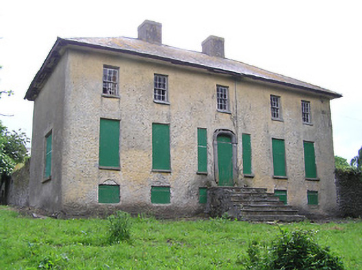 Lacken Househouse · 495 yd
 Enclosure in Carrow (ballybacon Par.)Enclosure · 985 yd
 Lisheenanoul.Fairy fort / earthen ringfort · 1263 yd
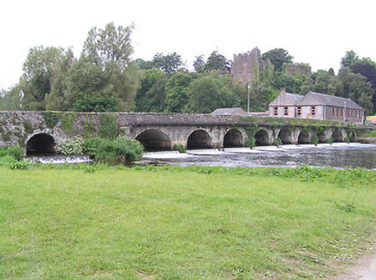 bridgebridge · 1638 yd
 Site of Clocully CastleCastle, unclassified · 1698 yd
 Bawn in FrehansBawn · 2.0 mi
 Woodcock HillMountain / peak · 2.2 mi
 European long distance path E8 - part IrelandWalking route · 2.6 mi
 Kildanogue wildfowl sanctuary and nature reserveNature reserve · 3.0 mi
 Hybrid Black PoplarHybrid Black Poplar · 3.6 mi
 Roche's HillMountain / peak · 3.9 mi
 The VeeViewpoint · 4.4 mi