What is recorded here
Grave Yard sits on a narrow rock promontory jutting into the Donegal sea, enclosed by a drystone wall and scattered with 19th century headstones. The disused burials face steep eastern and western falls, while gentler slopes lead north and south toward open water. The location suggests people chose a place where the dead would overlook the sea rather than hide behind land.
The top of a promontory of rock, 25m N-S and 14m E-W, jutting S into the sea is occupied by a disused graveyard. It is enclosed by a drystone wall. A number of 19th century headstones occur here. There are steep falls to the E and W while those to the N and S are less severe.
The above description was derived from the 'Archaeological Survey of County Donegal. A description of the field antiquities of the County from the Mesolithic Period to the 17th century.' Compiled by: Brian Lacey with Eamon Cody, Claire Cotter, Judy Cuppage, Noel Dunne, Vincent Hurley, Celie O'Rahilly, Paul Walsh and Seán Ó Nualláin (Lifford: Donegal County Council, 1983). In certain instances the entries have been revised and updated.
Date of upload: 22 September 2008
The monument record does not grant public access. Check the route and ask the landowner before entering private land.
- What survives
- Recorded monument
Places near here
 Trá an ChaisilBeach / strand · 102 yd
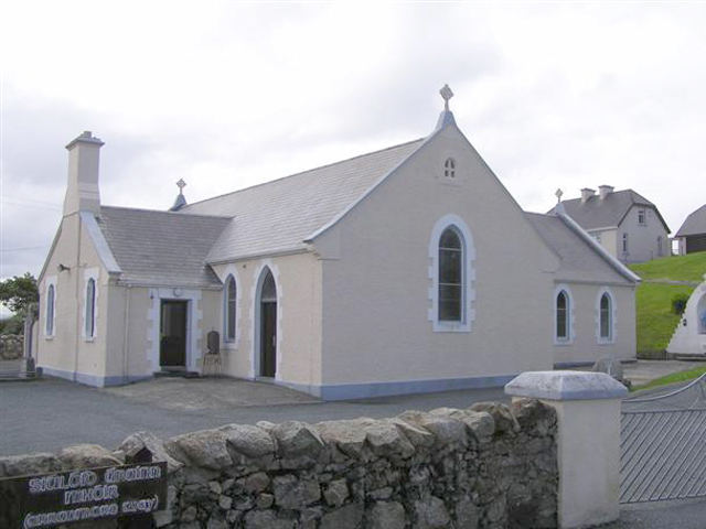 Teach Pobail Naomh Cróine [Saint Crone's Catholic Church]church/chapel · 244 yd
 Promontory fortPromontory fort, coastal · 420 yd
 An Staca Mór [Stackamore]beacon · 1.2 mi
 Hook Point / Pointe an DuáinHeadland · 1.2 mi
 Holy well in Oileán CrónaHoly well · 1.4 mi
 An tÍochtarIsland · 1.5 mi
 Near beachBeach / strand · 1.5 mi
 Inis Mhic an DoirnIsland · 1.6 mi
 Tor an ÉidighHeadland · 3.7 mi
 CroaghnamaddyMountain / peak · 5.5 mi
 CarrickfinnOfficial bathing water · 7.5 mi