
What is recorded here
Situated at the crest of the S-facing slope of a small hill. The site of the medieval parish church of Tydavnet is within a subrectangular graveyard (dims c. 60m NW-SE; c. 40m NE-SW) defined by masonry walls. Most of the headstones date from c. 1720 to c. 1820, and the results of a survey by Irish Graveyard Surveys is displayed in the graveyard. There is a cup-marked stone (MO006-022003-) in the graveyard, and the graveslab of John Foster (MO006-022004-) dated 1677 and the memorial of Richard Robinson (MO006-022005-) dated 1715 are noteworthy. A new triangular graveyard is attached to the W. Archaeological testing (06E0640) immediately to the south-east of the old graveyard uncovered human bone fragments which were re-deposited from the graveyard, and two millstones (Duffy 2009, 446; Duffy 2010, 393).
A portion of the graveyard wall (L c. 9m) at SE collapsed in 2011 but this was repaired by Monaghan County Council. Archaeological monitoring (11E0224) of the work recorded the depth of graveyard soil (c. 2.5m) over natural and recovered fragments of rotary querns, possible grave-markers, coffin nails and dressed stones, including a stone with a chamfered edge from the medieval church. The fragmentary remains of 56 adults, four children and four infants were also recovered. See excavations.ie 2011:505 accessed on 17/01/2020. (McGonigle 2012)
Compiled by: Michael Moore
Date of revision: 7 November 2016
Amended: 17 January 2020
A local ancient tomb; wider significance not recorded.
The monument record does not grant public access. Check the route and ask the landowner before entering private land.
- What survives
- Recorded monument
Places near here
 Church (in ruins)Church · 12 yd
 Saint Dympna's Catholic Churchchurch/chapel · 92 yd
 Fairy fort / earthen ringfort in AghacloghaFairy fort / earthen ringfort · 1151 yd
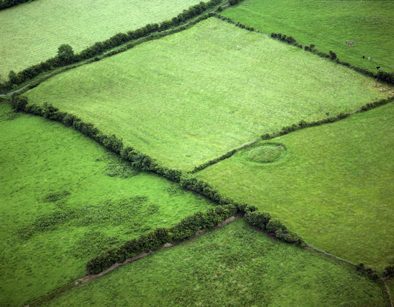 Fairy fort / earthen ringfort in Aghaboy NorthFairy fort / earthen ringfort · 1237 yd
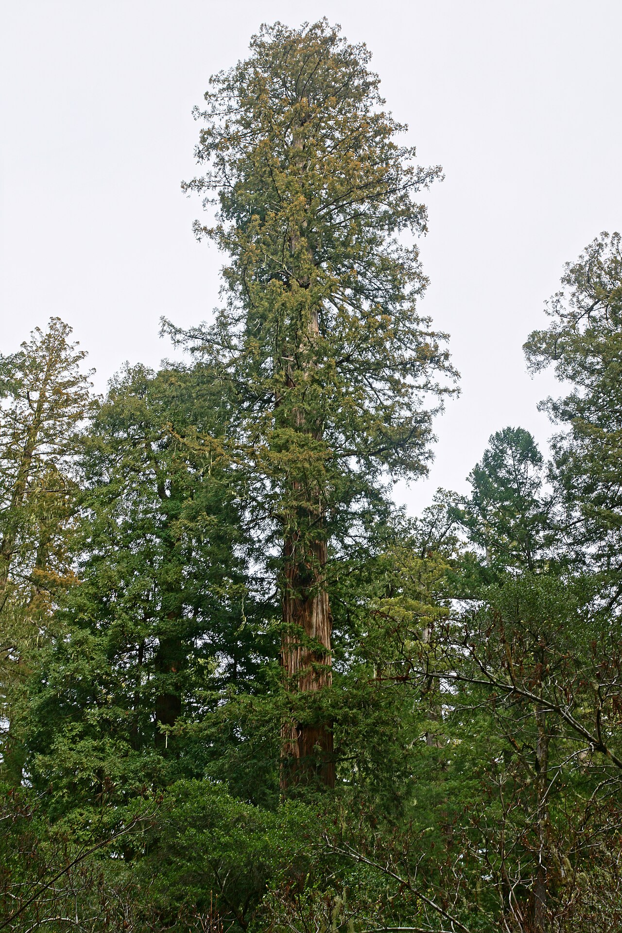 Coast RedwoodCoast Redwood · 1.3 mi
 Western RedcedarWestern Redcedar · 1.3 mi
 Monaghan County MuseumMuseum · 3.7 mi
 Rossmore MonumentMemorial · 3.8 mi
 Bawn in Roosky (monaghan By., Monaghan Par.)Bawn · 3.8 mi
 Rough HillMountain / peak · 4.1 mi
 Banba GiantHeritage attraction · 4.4 mi
 Sliabh Beagh Hotel and Tourism CentreVisitor information · 4.6 mi
Other information
Photo: Credit not shown in the picture search · Rights wording not checked; contact us if this picture should be removed