What is recorded here
On a N-S ridge between the Dinin river valley to the W, Douglas river valley to the S, and a small valley to the E. The graveyard (dims. 25m N-S; 45m E-W) occupies one of the irregular humps at the S end of the ridge and has a commanding view across all three valleys. A medieval church (KK010-069001-) is centrally placed within a roughly rectangular graveyard. The graveyard is enclosed by a stone wall with an entrance gate at the E end of the N wall. The ground within the graveyard and church has been significantly raised as a result of successive burials over a long period. At the eastern end of the graveyard, approximately 5m in from the N and E wall the ground level within the graveyard rises by c. 2m and is revetted by a stone wall, now in various states of collapse. Upstanding headstones, occupying both the ruined church and the graveyard, date to the 18th and 19th centuries. Given the close proximity to a church and graveyard seven trenches were opened in 2004 in advance of house building, however, no archaeological remains were found.
Compiled by: Jean Farrelly
Date of upload: 16 November 2016
The monument record does not grant public access. Check the route and ask the landowner before entering private land.
- What survives
- Recorded monument
Places near here
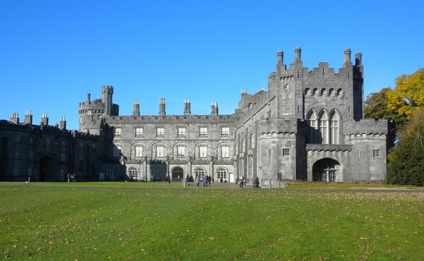 Enclosure in MuckaleeEnclosure · 478 yd
 Enclosure in Gaulstown (fassadinin By.)Enclosure · 804 yd
 Edward BurkeMemorial · 1666 yd
 Galvin'sForest · 1.2 mi
 Rockbrook Corn Millmill (water) · 1.3 mi
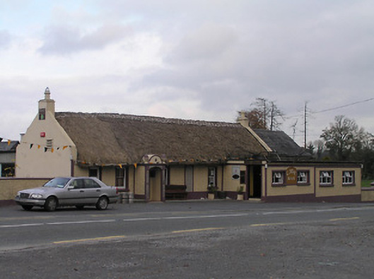 The Cavehouse · 1.3 mi
 CastleCastle, tower house · 1.5 mi
 Clogharinka Castle (in ruins)Castle, unclassified · 1.7 mi
 Cave of DunmoreCave · 1.8 mi
 Dunmore CavesCave · 1.8 mi
 Mohil GraveyardArchaeological place · 2.1 mi
 SycamoreSycamore · 2.3 mi