What is recorded here
Located on a slight rise on a S-facing slope. This is an early ecclesiastical site and the parish church of Lisgennan, or Grange (WA038-026002-), within a rectangular graveyard (dims. c. 65m E-W; c. 40-50m N-S) defined by earthen banks, stone-clad at the roadside at S. Archaeological testing (07E0408) in the vicinity failed to produce any related material (O'Carroll 2010).
O’Carroll, M.. (2010) Bawnagarrane. No archaeological significance. in I. Bennett (Ed.) Excavations 2007: summary accounts of excavations in Ireland, 510, No. 1797. Wordwell. Dublin.
Date of upload: 11 November, 2011
Compiled by: Michael Moore
Early medieval ecclesiastical site and parish churchyard, likely 7th to 10th century. It represents a key component of early Christian settlement and religious practice in the region.
The monument record does not grant public access. Check the route and ask the landowner before entering private land.
- What survives
- Recorded monument
Places near here
 Church (in ruins)Church · 17 yd
 Embanked enclosureFairy fort / earthen ringfort · 792 yd
 Garrane FortFairy fort / ringfort · 861 yd
 Catholic Church of Our Lady of the Assumptionchurch/chapel · 1376 yd
 Ardmore Open FarmHeritage attraction · 1496 yd
 Curragh/Pebble BeachBeach / strand · 2.2 mi
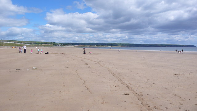 Ardmore BeachBeach / strand · 2.2 mi
 Kilmaloo LoughWood · 2.8 mi
 Cabin PointHeadland · 3.2 mi
 Castle (in ruins)Castle, tower house · 3.2 mi
 Clashmore Heritage CentreHeritage attraction · 3.5 mi
 Ferry PointViewpoint · 4.1 mi