
What is recorded here
On a slight rise on a gentle S-facing slope in relatively flat terrain, surrounded by pasture. Tillage in the field to the N. On the 1st (1840) ed. 6-inch OS map the church is depicted with a small semi-circular area running S of the E and W gable of the church defining the graveyard. On the 2nd (1906) ed. 6-inch OS…
Read the whole record
On a slight rise on a gentle S-facing slope in relatively flat terrain, surrounded by pasture. Tillage in the field to the N. On the 1st (1840) ed. 6-inch OS map the church is depicted with a small semi-circular area running S of the E and W gable of the church defining the graveyard. On the 2nd (1906) ed. 6-inch OS map the graveyard is depicted as a D-shaped area (dims. 54m E-W; 29m N-S) extending S from an E-W field boundary, with the church immediately S of the field boundary. This area is defined by a slight rise in the field. There was no graveyard enclosing the church (TS062-030----) in 1840 (O’Flanagan 1930, vol. 1, 75 (197-8)). The present small graveyard (dims. 15.4m E-W; 8.2m N-S), entered via gaps in the S and W walls, is largely a burial plot for the Clancy family, with headstones from the 1860s up to 2002. There is a 20th-century calvary within the graveyard near the S end of the E wall. The walls of the medieval church form part of the enclosing graveyard wall (H 0.8-1.35m; Wth 0.4m). According to local information, skeletal material and gravestones were uncovered many years ago when the field surrounding the present graveyard was ploughed.
From the National Monuments Service (Archaeological Survey of Ireland) record TS062-030001
Places near here
Photo credits
- National Inventory of Architectural Heritage
- Mike Searle, Wikimedia Commons · CC BY-SA 2.0
- A.-K. D., Wikimedia Commons · CC BY-SA 4.0
- Steve & Jemma Copley on Flickr, Wikimedia Commons · CC BY-SA 2.0
- Willow, Wikimedia Commons · CC BY 2.5
- Martin Richard Phelan, Geograph · Creative Commons Attribution-ShareAlike 2.0
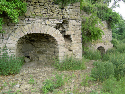 kiln821 yd
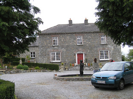 Temple ViewHouse · 1.2 miEagle HillMountain / peak · 1.3 mi
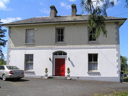 presbytery/parochial/curate's house1.4 miKnockuragh HillMountain / peak · 1.9 mi
 Knockkelly CastleCastle · 3.3 mi
 Ballinard CastleCastle, tower house · 3.6 mi
.png/250px-Killenaule_Heritage_Centre_(1).png "Photo: A.-K. D., Wikimedia Commons · CC BY-SA 4.0") Slieveardagh Heritage CentreVisitor information · 3.7 mi
Slieveardagh Heritage CentreVisitor information · 3.7 mi Silver Fir4.6 mi
 European ash4.7 mi
 Sheela-na-gig in FethardSheela-na-gig · 5.5 mi
 Grave YardGraveyard · 5.6 mi
More archaeology and monuments in County Tipperary · All of County Tipperary

What do you know about this place?Tap to add a comment or ask a question