What is recorded here
Situated on a W-facing slope immediately E of a small laneway in rolling pasture with good views to W, S and E. Sub-rectangular shaped are enclosed by a post-1700 mortared stone wall (H c. 1.5m) with entrance gate and stile at NW. Depicted on the 1923 OS 6-inch map as a sub-rectangular shaped area (c. 60m NW-SE; 50m E-W) with nave and chancel church (LI014-069001-) shown standing in E quadrant. Burials are concentrated in the W part of the graveyard where there are several gravestones of 18th and 19th century date.
Immediately E of the church there is a rectangular depression which possibly represents the footprint of a levelled chancel that was depicted on the OS 6-inch map. The graveyard is still in use. Remains of a stone stile and coffin stand in E section of graveyard wall opposite E gable of medieval church ruins.
Compiled by: Caimin O'Brien
Date of upload: 23 November 2018
The monument record does not grant public access. Check the route and ask the landowner before entering private land.
- What survives
- Recorded monument
Places near here
 Ludden Church (in ruins)Church · 18 yd
 Wych ElmWych Elm · 545 yd
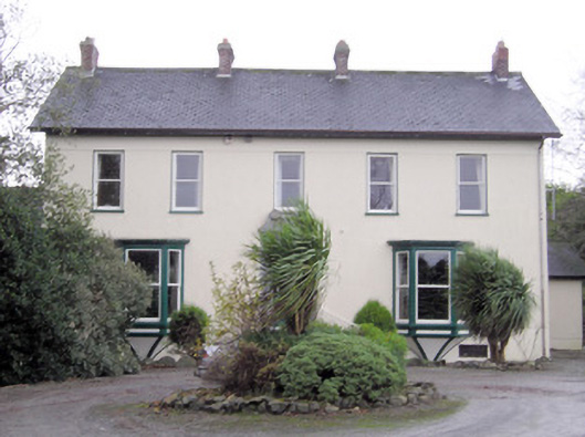 Ballymacreese Househouse · 977 yd
 Greenan CastleCastle · 1149 yd
 Bawn in Ludden MoreBawn · 1434 yd
 BrufeaArchaeological place · 1480 yd
 Enclosure in SkahardEnclosure · 1648 yd
 St Lawrence's WellSpring · 1653 yd
 Villiers WellSpring · 4.9 mi
 Graveyard in AbingtonGraveyard · 5.1 mi
 Saint John Paul IIMemorial · 6.5 mi
 KnockseefinMountain / peak · 7.2 mi