What is recorded here
Situated on a steep SW facing hillside, in rough mountainous terrain.
This children’s burial ground is indicated on the 1838 OS 6-inch map as ‘Grave Yard’ and on the 1921 edition as ‘Grave Yd. (Disused)’. It consists of roughly triangular-shaped area (14.3m NE-SW; 12.3m NW-SE) bordered by field boundaries from WSW−ESE and by a stream from ESE−S. In the interior there is a crude altar (027-001002-) at the NNW, and numerous graves marked by slabs, boulders and roughly square stone settings. Aldridge (1969, 86) noted a cross-inscribed stone (MA027-001003-) on the altar.
Compiled by: Jane O'Shaughnessy and Paddy O’Donovan
Date of upload: 12 December 2017
A local ancient tomb; wider significance not recorded.
The monument record does not grant public access. Check the route and ask the landowner before entering private land.
- What survives
- Recorded monument
Places near here
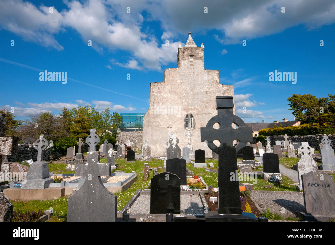 Altar in Largan BegAltar · 8 yd
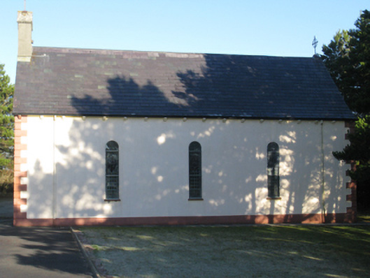 Catholic Church of Our Ladychurch/chapel · 1.5 mi
 HawthornHawthorn · 2.7 mi
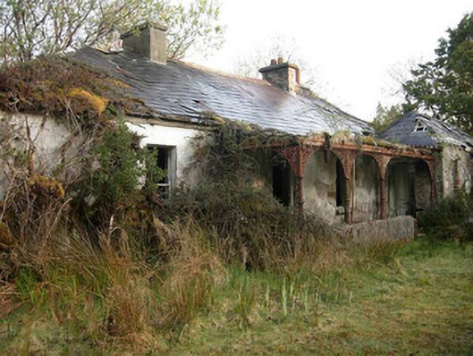 Sheskin Lodgehunting/fishing lodge · 2.9 mi
 Wild Nephin National ParkNature reserve · 4.4 mi
 Slieve CarrMountain / peak · 4.8 mi
 Attavally IslandIslet · 5.0 mi
 Gortmore IslandIslet · 5.4 mi
 Enclosure in Ráth MuireagáinEnclosure · 7.3 mi
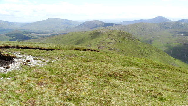 Nephin Beg South Top (Cruckgarru)Mountain / peak · 8.8 mi
 Domhaill's GraveArchaeological place · 9.1 mi
 Letterkeen LoopWalking route · 9.8 mi