What is recorded here
On natural rock outcrop, in grassland with good views in all directions. Small rectangular-shaped graveyard (int. dims. 45m N-S; 37m E-W; wall T 0.45m; wall H 1m) with ruinous church (TS054-013001-) located in N quadrant of graveyard. Not clear if the graveyard wall built on the site of the N wall of the church or whether the N wall of the church is beyond the outer face of the graveyard wall. Graveyard wall probably constructed in the 19th century and may have pulled down church wall when constructing the wall along the N side of the graveyard. No other features visible. Several large 20th-century burial monuments inside church building. Church walls covered in ivy impossible to see wall construction. Quarry located immediately N of the graveyard wall to N of church.
Compiled by: Jean Farrelly
Date of upload: 26 August 2011
The monument record does not grant public access. Check the route and ask the landowner before entering private land.
- What survives
- Recorded monument
Places near here
 Ladys WellHoly well · 532 yd
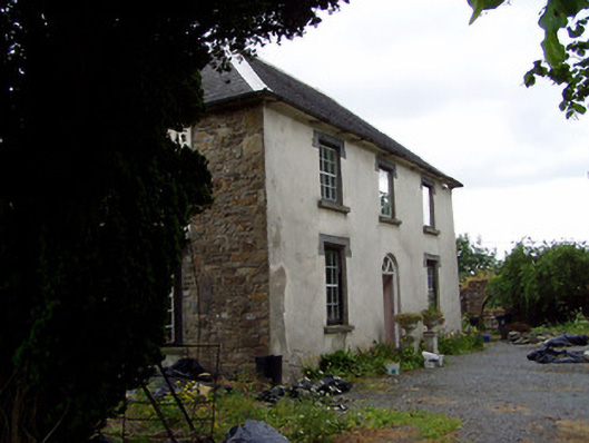 Hill View Househouse · 686 yd
 Enclosure in LanesparkEnclosure · 1264 yd
 Water millWater mill, unclassified · 1424 yd
 Bog Castle (in Ruins)Castle, unclassified · 1.0 mi
 Waterloo HillMountain / peak · 1.1 mi
 CastleCastle, ringwork · 1.5 mi
 Derrynaflan TrailHeritage attraction · 1.7 mi
 Slieveardagh Heritage CentreVisitor information · 1.8 mi
 Gobban Saer's GraveArchaeological place · 2.6 mi
 Horse and JockeyVisitor information · 3.8 mi
 Eagle HillMountain / peak · 3.9 mi