
What is recorded here
From the National Monuments Service (Archaeological Survey of Ireland) record KD023-002001
Places near here
Photo credits
- Maker not stated on source page, www.tripadvisor.co.uk
- Maker not stated on source page, www.boboandchichi.com
- Maker not stated on source page, www.countrylife.co.uk
- Maker not stated on source page, ru.pinterest.com
- National Inventory of Architectural Heritage
- Golfing in Ireland; photographer not stated, Source publisher
- Royalcanalrunner, Wikimedia Commons · CC BY-SA 4.0
- Maker not stated on source page, en.topwar.ru
- Kk, Wikimedia Commons · CC0
- Maker not stated on source page, www.pinterest.com
- Willow, Wikimedia Commons · CC BY 2.5
 ChurchRuins · 14 yd
Explorer Tom Church here gave up chocolate for Lent but kept going back because it couldn't help itself. It’s just a name on a map…
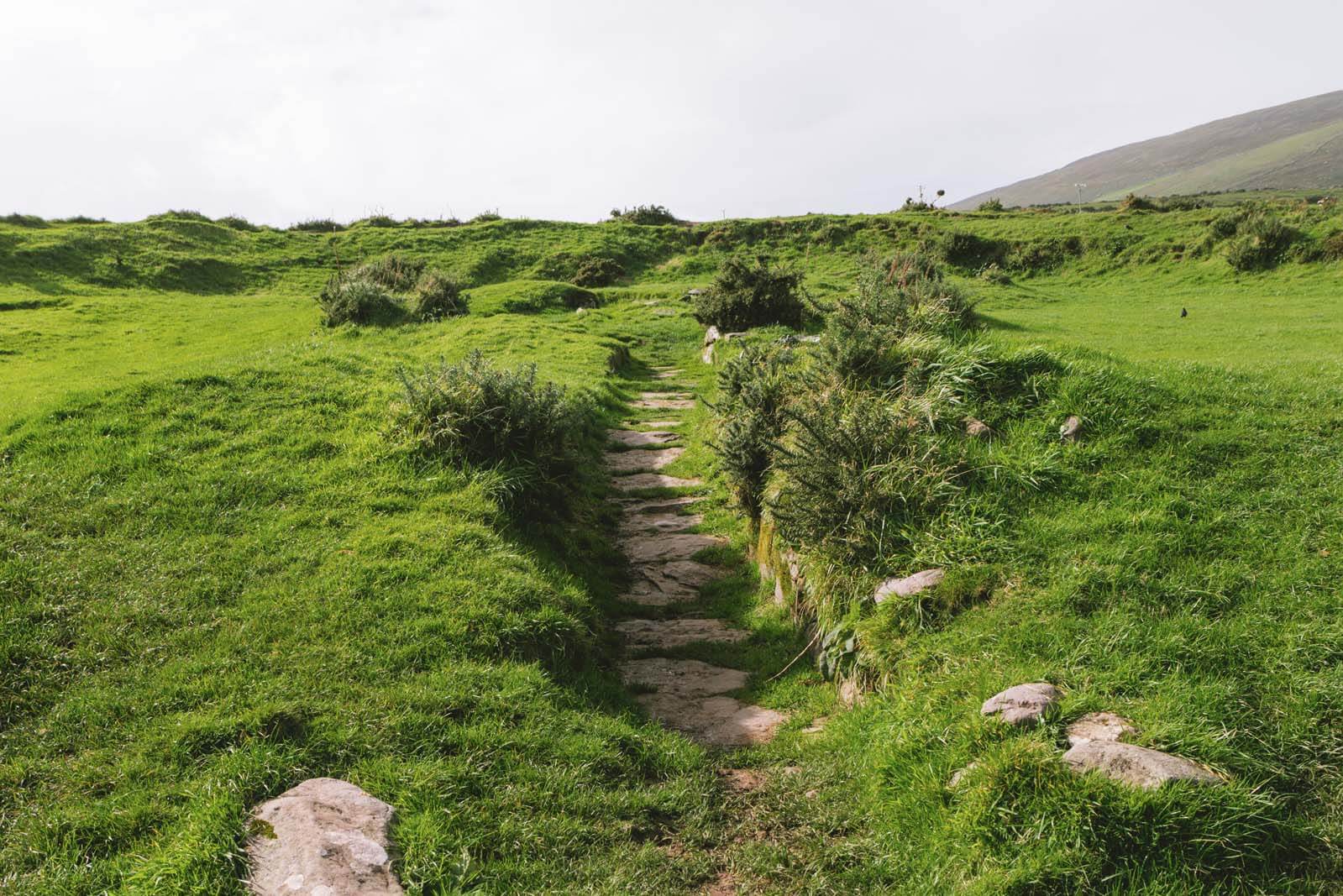 Fairy fort / earthen ringfort in LadytownFairy fort / earthen ringfort · 1251 yd
Explorer Tom Fairy fort / earthen ringfort in Ladytown has strict visitor rules: no talking, no thinking, and absolutely no wearing…
 CastleCastle, unclassified · 1394 yd
Explorer Tom Castle in Lewistown is what the seagulls say about when they can't find it anywhere else. It was on the Down Survey…
 Church (Site of)Church · 1.5 mi
Explorer Tom Church in Barrettstown has vanished, leaving only a low mound to mock the modern church that replaced it. It probably…
 post box1.5 mi
Explorer Tom Post box in Thomastown thinks it’s still 1890 and refuses to accept modern letters without a proper stamp. It’s got…
 Newbridge Golf ClubGolf course · 1.7 mi
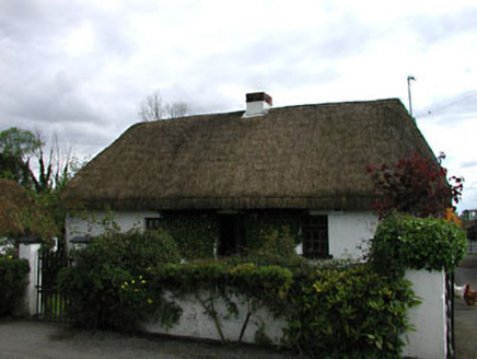 farm house1.9 mi
Explorer Tom Farm house in Thomastown: What this place would get on its tombstone is “Died while arguing with a cow about who owned…
 Limerick BridgeBridge · 1.9 mi
Explorer Tom Limerick Bridge is judging the road that leads to it right now. It thinks the traffic is being rude and should slow…
 Enclosure in Barrettstown (oldconnell Ed)Enclosure · 1.9 mi
Explorer Tom Enclosure in Barrettstown is basically invisible, so the seagulls think it’s an excellent place to drop their…
 European Crab Apple2.0 mi
Explorer Tom European Crab Apple ended up in Kildare by accident, probably taking a wrong turn at the supermarket on the way home.…
 Graveyard in JigginstownGraveyard · 2.3 mi
Explorer Tom Graveyard in Jigginstown was once ruled by a goat who decided the rabbits were taking up too much space near the church…
 Elder5.5 mi
Explorer Tom An Elder tree almost got sold to a farmer for his horse, but he backed out when it refused to eat oats. It stands there…
More archaeology and monuments in County Kildare · All of County Kildare

What do you know about this place?Tap to add a comment or ask a question