What is recorded here
A rectangular graveyard (51m E-W; 32m N-S), raised 0.5-1.2m above the external ground level. It contains a large number of uninscribed grave-markers and 19th- and 20th-century headstones. The earliest headstones have been recorded as 1771 (O'Rorke [1889], vol. 2, 196) and 1761 (Anon. 1892-4, 200). Fragmentary foundations of Kilturra parish church (SL038-121001-) are in the centre. There is a recent extension (81m E-W; 38.5m N-S) on the W side. Fragments of a cross-slab (SL038-121003-) and of a quernstone, which were found here, are in the NMI (pers. comm. M. B. Timoney).
The above description is derived from the published 'Archaeological Inventory of County Sligo' compiled by Ursula Egan, Elizabeth Byrne, Mary Sleeman with Sheila Ronan and Connie Murphy (Dublin Stationery Office, 2005).
Date of upload: 18 January 2008
The monument record does not grant public access. Check the route and ask the landowner before entering private land.
- What survives
- Recorded monument
Places near here
 Kilturra church (in Ruins)Church · 4 yd
 Aughris FortFairy fort / earthen ringfort · 806 yd
 Enclosure in Knockrawer (corran By., Kilturra Ed)Enclosure · 1085 yd
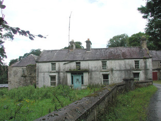 Knockalass Housefarm house · 1496 yd
 Ballyfahy Castle (in Ruins)Castle, unclassified · 1.7 mi
 Castle (in Ruins)Castle, tower house · 2.1 mi
 Tymon's HillMountain / peak · 2.1 mi
 Old Cave Burial GroundArchaeological place · 4.3 mi
 Muckelty HillMountain / peak · 5.4 mi
 Brother WalfridMemorial · 5.5 mi
 Caves of KeshCave · 6.6 mi
 School CaveCave · 7.5 mi