What is recorded here
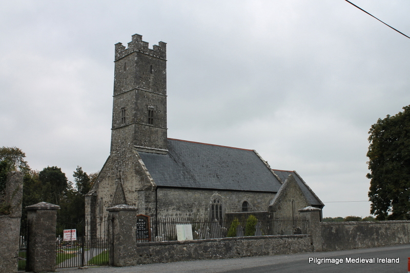
Situated at the bottom of the E-facing foothills of the Monavullagh Mountains, c. 350m W of the NW-SE River Tay. The parish church of Kilrossanty (WA023-007001-) is within a D-shaped graveyard (dims. c. 42m N-S; c. 45m E-W) defined by stone-faced earthen banks with straight N and E sides. The graveyard is part of a suboval or D-shaped ecclesiastical enclosure (WA023-007008-) (dims. c. 65m E-W; 42m N-S) defined by a curved scarp (H 0.9-1.2m) outside the graveyard NE-SE and the graveyard perimeter S-W.
Date of upload: 25th March, 2011. Compiled by: Michael Moore.
The monument record does not grant public access. Check the route and ask the landowner before entering private land.
- What survives
- Recorded monument
Places near here
 Church (in ruins)Church · 10 yd
 RoadRoad, hollow-way · 63 yd
 Holy well in KilrossantyHoly well · 67 yd
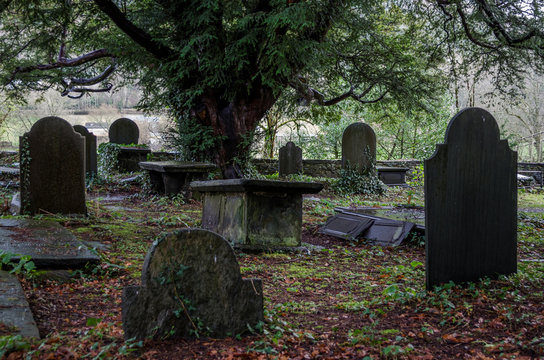 Grave YardGraveyard · 712 yd
 Bawn in BarnankileBawn · 1.1 mi
 Site of CastleCastle, unclassified · 2.0 mi
 Coumaraglin MountainMountain / peak · 2.1 mi
 Crough WoodWood · 2.3 mi
 Magic Road (finish)Heritage attraction · 2.4 mi
 Magic Road (start)Heritage attraction · 2.4 mi
 CrohaunMountain / peak · 3.0 mi
 Standing StoneMemorial · 3.4 mi