What is recorded here
Situated on the E side of the S-N valley of the Dawn River with the river c. 200m to the W. The parish church of Kilmeadan (WA008-018001-) is within a subrectangular graveyard (dims. c. 75m N-S; c. 40m E-W). The present C of I church is built on the site of an older church, part of which survived until c. 1850 (Atkins 1895, 35-6), but it is not visible at ground level. (Power 1895b, 170-1)
Compiled by: Michael Moore.
Date of Upload: 3rd November, 2010.
The monument record does not grant public access. Check the route and ask the landowner before entering private land.
- What survives
- Recorded monument
Places near here
 Site of ChurchChurch · 28 yd
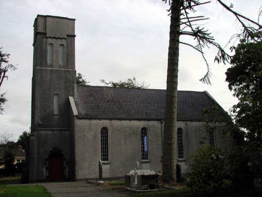 Saint Mary's Church (Kilmeadan)church/chapel · 46 yd
 Historic buildingOfficially recorded historic building · 100 yd
 Settlement desertedSettlement deserted, medieval · 167 yd
 Waterford & Suir Valley RailwayHeritage attraction · 172 yd
 CastleCastle, unclassified · 983 yd
 Sargent's magnoliaSargent's magnolia · 1312 yd
 Sweet micheliaSweet michelia · 1.0 mi
 Mount Congreve GardensHeritage attraction · 1.4 mi
 Site of CastleCastle, unclassified · 1.5 mi
 Donnell's HillMountain / peak · 4.0 mi
 Kilfarrasy BeachBeach / strand · 7.9 mi