
Places near here
Photo credits
- National Inventory of Architectural Heritage
- Maker not stated on source page, tr.pinterest.com
- Maker not stated on source page, pixels.com
- Maker not stated on source page, www.flickr.com
- Maker not stated on source page, ca.pinterest.com
- Kmcnamee, Wikimedia Commons · CC BY-SA 4.0
- Yablochko, Wikimedia Commons · CC0
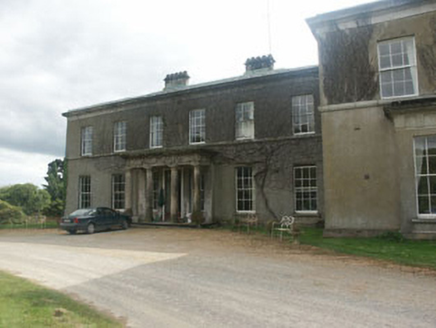 Ballycurry HouseCountry house · 1.0 mi
Explorer Tom Ballycurry House is basically the uncle at every wedding who refuses to stop talking about his garden gate and how he…
 CastleCastle, unclassified · 1.2 mi
Explorer Tom Castle in Kiltimon is stuck in a massive family feud over who actually owns the best view of the valley below. One side…
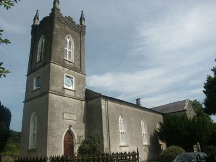 Nun's Cross Church (Killiskey)Church/chapel · 1.6 mi
Explorer Tom Nun's Cross Church in Killiskey would write 'Likes hiking, hates modern architecture, single' on its dating profile if…
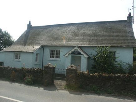 The Old School HouseSchool · 1.6 mi
Explorer Tom The Old School House in Ballinahinch Killiskey would buy a new nose if it won the lotto. It’s been sitting there since…
 Fairy fort / ringfort in Inchanappa SouthFairy fort / ringfort · 1.6 mi
Explorer Tom Fairy fort / ringfort in Inchanappa South has been in a long-standing feud with the rain, who keeps trying to wash it…
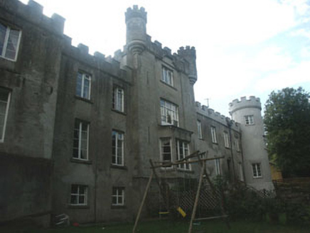 Glanmore CastleCountry house · 1.6 mi
Explorer Tom Glanmore Castle refuses to fall down because it believes gravity is just a personal attack on its ego. It has survived…
 Enclosure in Ballymoneen (newcastle By.)Enclosure · 1.7 mi
Explorer Tom Enclosure in Ballymoneen is not visible at ground level, so its first owner must have had an escape plan involving…
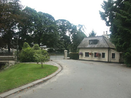 Inchanappa HouseGate lodge · 1.7 mi
Explorer Tom Inchanappa House name actually means 'The Place Where You Drop Your Keys', which is very helpful for drivers. It’s a…
 Graveyard in Inchanappa SouthGraveyard · 1.8 mi
Explorer Tom Graveyard in Inchanappa South is hiding a scandal where a broken font sat in a corner for centuries collecting dust and…
 Ashford Garda Síochána StationGarda station/constabulary barracks · 1.9 mi
Explorer Tom Ashford Garda Síochána Station is standing there looking mighty official, guarding nothing but its own ego and a…
 Ashford GAAGAA ground · 1.9 mi
 Victor's WayHeritage attraction · 5.3 mi
Explorer Tom Victor's Way is home to a giant who only appears when you’re holding a half-eaten sandwich. The locals swear he’s been…
More archaeology and monuments in County Wicklow · All of County Wicklow

What do you know about this place?Tap to add a comment or ask a question