What is recorded here
Situated on a slight rise on the gentle W-facing slope of a low hill. The parish church of Killisk (WX027-025001-) is within a circular enclosure which is truncated by an E-W laneway at S and is now D-shaped (dims. 39m E-W; 32m N-S). The enclosure is defined by an earthen bank (Wth 3- 8m; H 0.3-0.7m). There is no evidence of burial, although John O’Donovan writing c. 1840 records that burial had been discontinued for forty years (O’Flanagan 1933, vol. 2, 221-2). The site of St Bridget's Well (WX027-024----) is c. 350m to the N.
Compiled by: Michael Moore
Date of upload: 18 July, 2012
The monument record does not grant public access. Check the route and ask the landowner before entering private land.
- What survives
- Recorded monument
Places near here
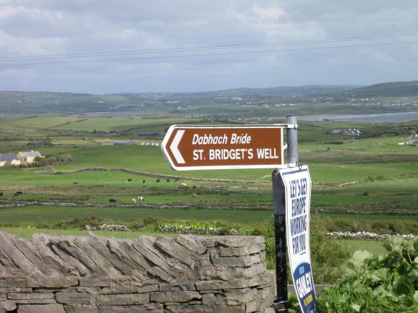 St, Bridgets WellHoly well · 379 yd
 Enclosure in Ballina Lower (ballaghkeen By., Kilmallock Ed)Enclosure · 1473 yd
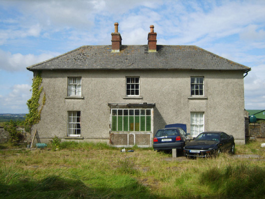 farm housefarm house · 1574 yd
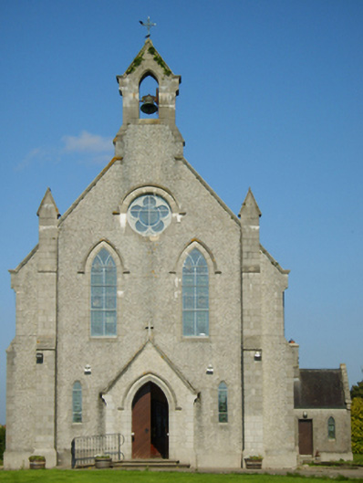 Catholic Church of Saint John the Baptistchurch/chapel · 1.5 mi
 Ballinkeel Castle (in ruins)Castle, unclassified · 2.1 mi
 1798 MonumentMemorial · 2.3 mi
 1798 MemorialMemorial · 2.9 mi
 Battle of Oulart Hill signVisitor information · 3.7 mi
 Scurlocksbush HillMountain / peak · 3.8 mi
 CastleCastle, unclassified · 4.1 mi
 Oulart HillMountain / peak · 4.2 mi
 Eden ValeWood · 5.0 mi