What is recorded here
Situated at the N end of a SE-NW spur with the S-N Killary Water stream in its valley c. 60m to the SW. The site of an early church and the parish church of Killary (ME012-020----) is within a rectangular graveyard (dims c. 67m ENE-WSW; c. 45m NNW-SSE) defined by earthen banks. According to Dopping’s and the Royal Visitations (1682-5; 1697) the church was in ruins since 1641, although it was fenced (Ellison 1973, 6).
From the National Monuments Service (Archaeological Survey of Ireland) record ME012-020001
Places near here
Photo credits
- National Inventory of Architectural Heritage
- Kieran Campbell, Geograph · Creative Commons Attribution-ShareAlike 2.0
- Sitomon, Wikimedia Commons · CC BY-SA 2.0
- Wanfried-Dublin, Wikimedia Commons · CC BY-SA 4.0
- Olivier BEZES, Wikimedia Commons · CC BY 2.5
- Garry Dickinson, Geograph · CC BY-SA 2.0
- Jamie Carroll, Geograph · CC BY-SA 2.0
- Hopmans at nl.wikipedia, Wikimedia Commons · CC BY-SA 3.0
- Sitomon, Wikimedia Commons · Public domain
- Colin Park, Geograph · CC BY-SA 2.0
- Jan van Huchtenburgh, Wikimedia Commons · Public domain
 milestone/milepost1.3 mi
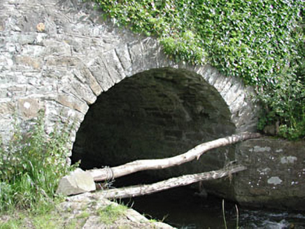 bridge1.3 mi
 Grave YardGraveyard · 1.9 mi
 European Yew2.0 mi
 Druids AltarPortal tomb · 2.0 mi
 Lebanon Cedar4.1 mi
 CastleCastle, tower house · 4.4 mi
 Slane CastleCastle, unclassified · 7.0 mi
 Mellifont AbbeyHeritage attraction · 8.8 mi
 KnowthArchaeological place · 9.4 mi
 Battle of the Boyne Visitor CentreMuseum · 11 mi
_tussen_Jacobus_II_en_Willem_III,_12_juli_1690_Rijksmuseum_SK-A-605.jpeg/250px-De_slag_aan_de_Boyne_(Ierland)_tussen_Jacobus_II_en_Willem_III,_12_juli_1690_Rijksmuseum_SK-A-605.jpeg "Photo: Jan van Huchtenburgh, Wikimedia Commons · Public domain") Battle of the BoyneMajor battlefield · 11 mi
Battle of the BoyneMajor battlefield · 11 miMore archaeology and monuments in County Meath · All of County Meath

What do you know about this place?Tap to add a comment or ask a question