What is recorded here
Located on a slight rise in a level landscape. The site of the parish church of Killaconnigan (ME035-010----) is within a D-shaped graveyard (max. dims c. 60m NW-SE; c. 50m NE-SW) defined by a straight earthen bank at NW, a low earthen bank at NE and a path E-S at the base of the slope. There is a small cross (ME035-010002-) at the centre. Headstones date from c. 1770 to the present.
Compiled by: Michael Moore
Date of upload: 13 February, 2015
The monument record does not grant public access. Check the route and ask the landowner before entering private land.
- What survives
- Recorded monument
Places near here
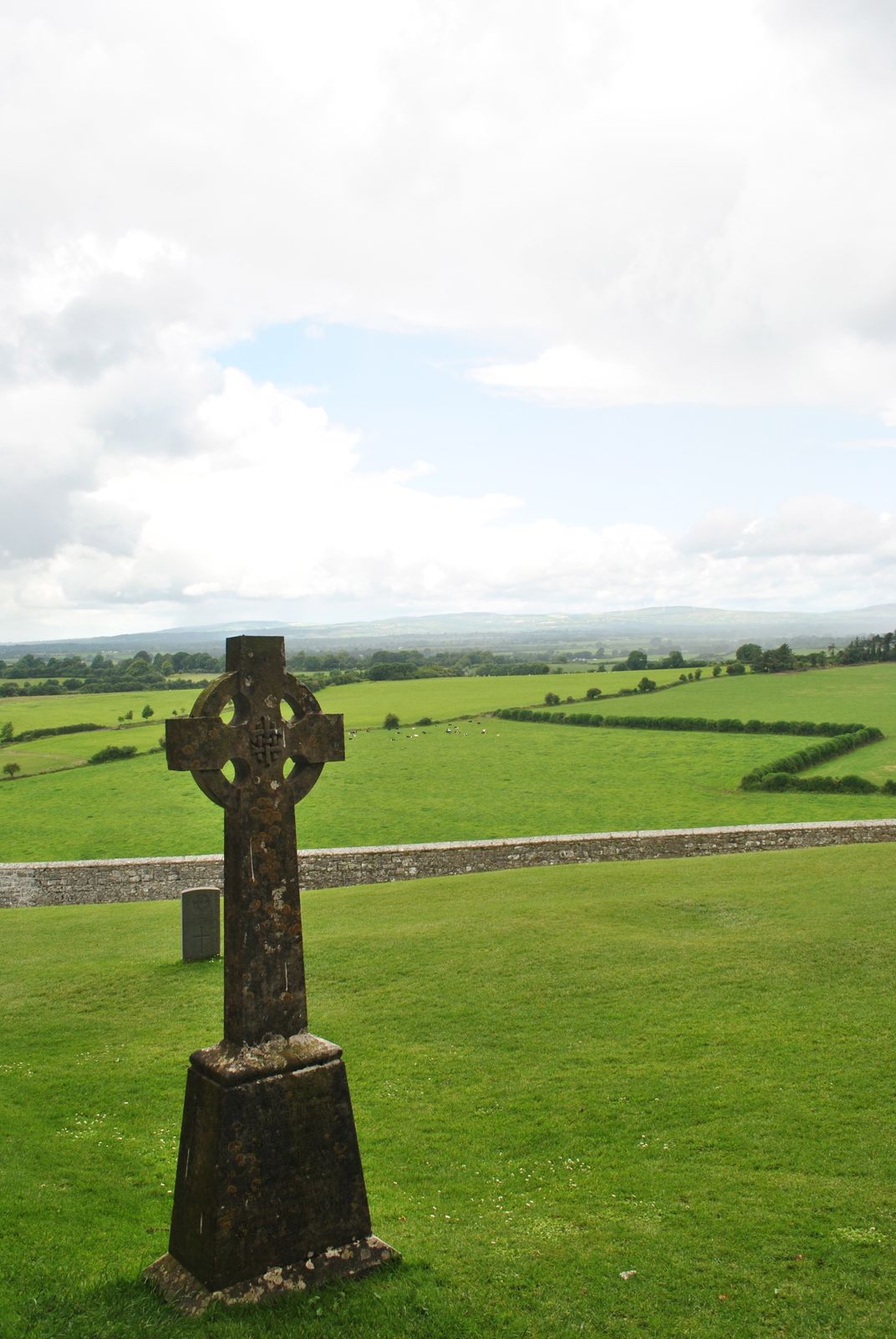 Cross in KillaconniganCross · 15 yd
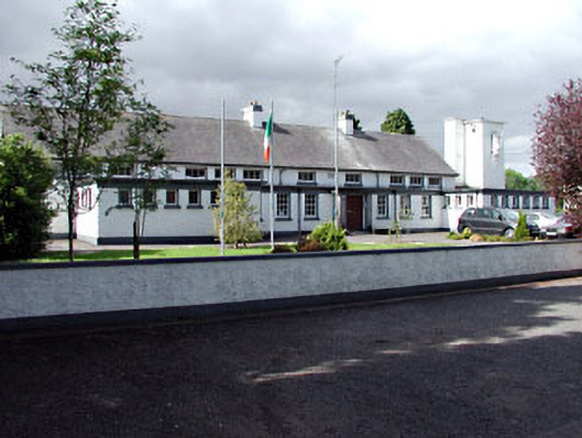 Saint Columbanus's National Schoolschool · 909 yd
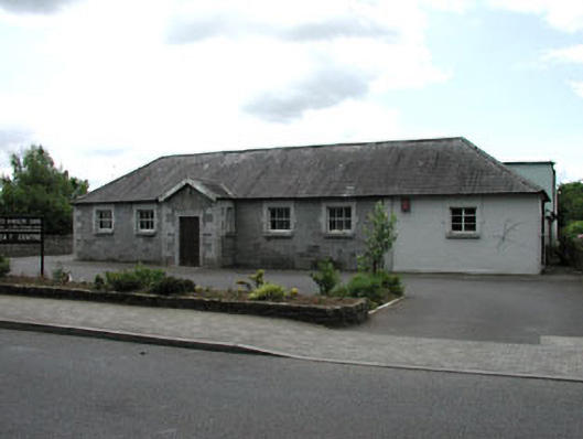 Ballivor National Schoolschool · 971 yd
 EnclosureEnclosure, large enclosure · 1256 yd
 Carrantstown CastleCastle, unclassified · 1334 yd
 MoatCastle, motte and bailey · 1.6 mi
 ScregganWood · 2.1 mi
 European BeechEuropean Beech · 4.0 mi
 FraineMountain / peak · 4.7 mi
 Croppies' GraveMemorial · 6.8 mi
 Cloncurry GraveyardHeritage attraction · 11 mi
 The New Line RoadMemorial · 11 mi