What is recorded here
Situated on a slight rise in a level landscape. It is described as a graveyard on the 1836 and 1910 eds of the OS 6-inch map. The graveyard is a subrectangular or hexagonal area (dims c. 50m E-W; c. 25-45m N-S) defined by masonry walls with headstones dating from 1776 to c. 2002, but there is no indication that it ever had a church (ME046-012----). The graveyard has been extended to the E (dims c. 30m N-S; c. 20m E-W) as far as a N-S entrance lane.
Compiled by: Michael Moore
Date of upload: 8 April, 2015
The monument record does not grant public access. Check the route and ask the landowner before entering private land.
- What survives
- Recorded monument
Places near here
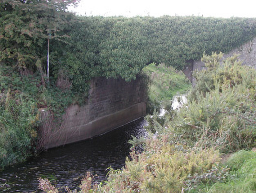 Baltinoran Bridgebridge · 1124 yd
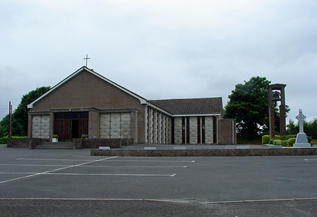 Catholic Church of the Assumptionchurch/chapel · 1498 yd
 Enclosure in StonehouseEnclosure · 1.2 mi
 Ecclesiastical enclosure in Baltigeer,cappabogganEcclesiastical enclosure · 1.3 mi
 IndicatedCastle, unclassified · 1.9 mi
 CastleCastle, tower house · 1.9 mi
 Moat HillMountain / peak · 2.5 mi
 Knockdrin HillMountain / peak · 3.6 mi
 Roundhill WoodForest · 3.8 mi
 Rahin WoodsForest · 4.3 mi
 Croppies' GraveMemorial · 6.5 mi
 The Fairy BowerHeritage attraction · 13 mi