What is recorded here
Situated towards the bottom of a severe S-facing slope. The parish church of Kilgobnet (WA031-001001-) is within a subrectangular graveyard (dims. c. 70m N-S; c. 40-60m E-W).
Compiled by: Michael Moore. Date of upload: 25th August, 2011.
The monument record does not grant public access. Check the route and ask the landowner before entering private land.
- What survives
- Recorded monument
Places near here
 Font in KilgobnetFont · 30 yd
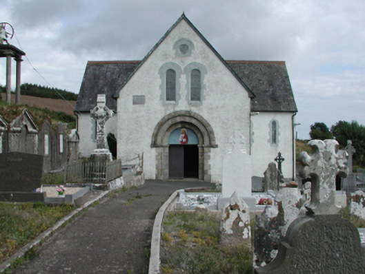 Saint Gobnait's Catholic Churchchurch/chapel · 48 yd
 Toberaphoona or TobergobnetHoly well · 142 yd
 farm housefarm house · 214 yd
 Castle (in ruins)Castle, tower house · 1593 yd
 Master McGrathMemorial · 1.4 mi
 CastleCastle, motte · 2.1 mi
 Horse-chestnutHorse-chestnut · 2.3 mi
 Grattan SquareVisitor information · 2.3 mi
 Waterford County MuseumMuseum · 2.4 mi
 Dungarvan CastleCastle · 2.5 mi
 Dungarvan World War I MemorialMemorial · 2.5 mi