What is recorded here
A rectangular area (c. 65m E-W; max. c. 50m N-S) amidst the out-buildings at ‘Kildangan House’. The interior rises slightly towards the centre and burials date from the 18th to the 20th-century. There is no visible trace of the church (KD027-017----) shown in the interior on the 1st ed. (1838) of the OS 6-inch map.
Compiled by: Gearóid Conroy
Date of upload: 31 August 2012
This remains an important historical record, but the official description says the monument is no longer visible or has been destroyed. The monument record does not grant public access. Check the route and ask the landowner before entering private land.
- What survives
- No visible remains or recorded as destroyed
Places near here
 Church (in Ruins)Church · 29 yd
 Brookfield WoodWood · 552 yd
 IndicatedEnclosure · 987 yd
 Catholic Church of Our Lady of Victorieschurch/chapel · 1101 yd
 ToberreendoneyHoly well · 1144 yd
 Site of CastleCastle, unclassified · 1.6 mi
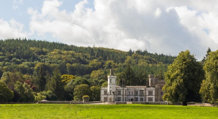 CastleCastle, unclassified · 1.9 mi
 Moore Abbey WoodWood · 2.8 mi
 Horse MuseumMuseum · 4.7 mi
 Japanese GardensHeritage attraction · 4.7 mi
 Bithia Mary CrokerMemorial · 8.2 mi
 Bog Lake WalkWalking route · 9.4 mi