
What is recorded here
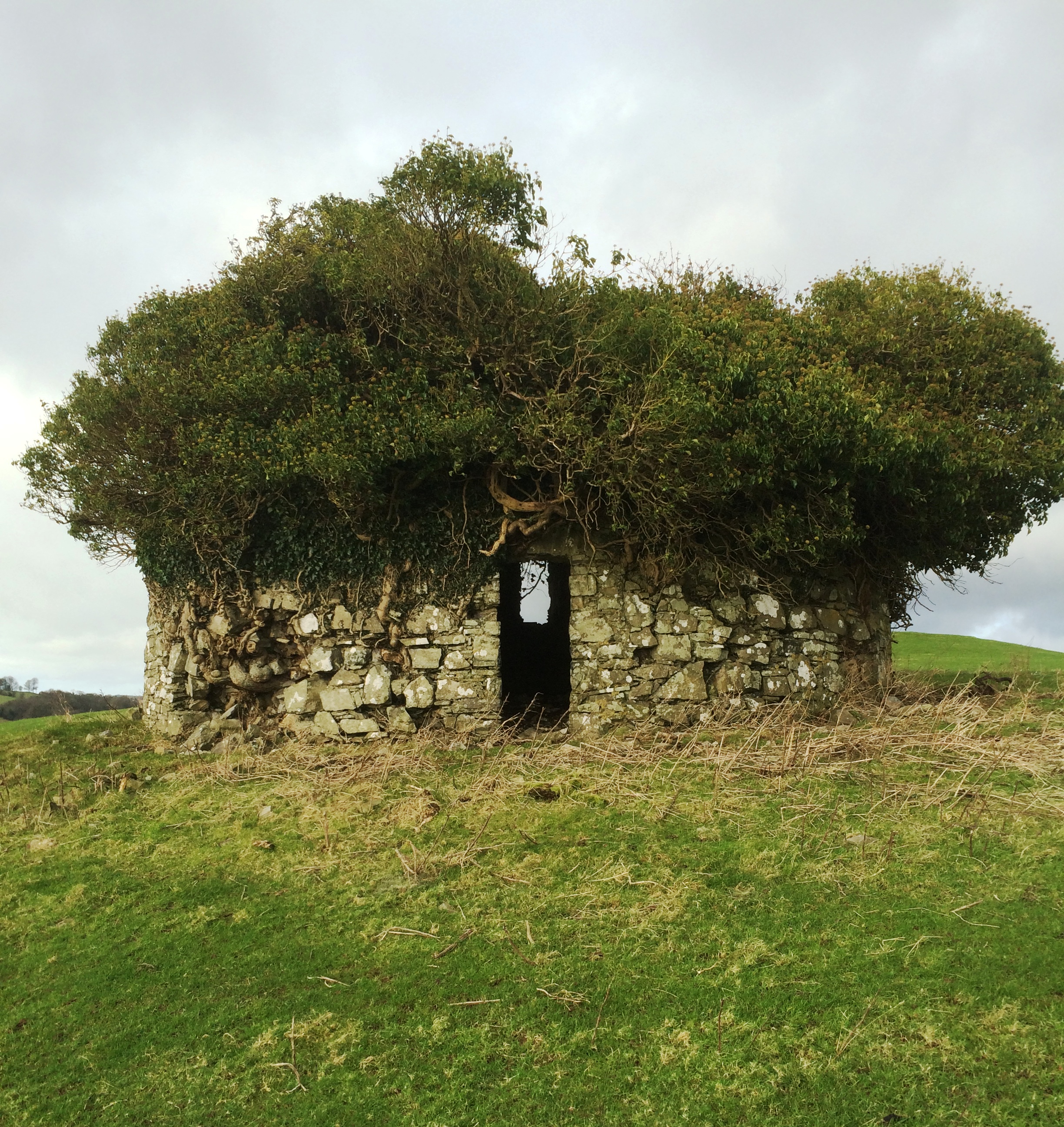
Situated atop low hillock in undulating countryside with post-1700 corn mill of Ballynabarna 110m to NNE and mill race 70m to E. On the 1837 ed. OS 6-inch map the glebe land belonging to Kilcumreragh Church (WM031-079----) is depicted immediately W of the graveyard and the boundary of the glebe is shown as a dotted…
Read the whole record
From the National Monuments Service (Archaeological Survey of Ireland) record WM031-079001
Places near here
Photo credits
- National Inventory of Architectural Heritage
- Maker not stated on source page, commons.wikimedia.org
- Photographer not named on GAA.ie article, www.gaa.ie
- Maker not stated on source page, www.pinterest.com
- Maker not stated on source page, www.dreamstime.com
- Mike Searle, Geograph · CC BY-SA 2.0
- Maker not stated on source page, ru.wikipedia.org
- Maker not stated on source page, theirishaesthete.com
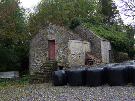 outbuilding164 yd
Explorer Tom Outbuilding in Kilcumreragh would describe the 1800s to a teenager as 'vibe-checking' with grain, basically just…
 bridge224 yd
Explorer Tom The Bridge in Kilcumreragh would be the best-dressed uncle at any wedding if it were a person, standing there in its…
 Standing stone in Cartron GlebeStanding stone · 1342 yd
Explorer Tom Standing stone in Cartron Glebe is doing its best impression of a monolith that heard a whisper and fainted. They say…
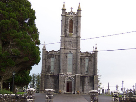 Saint Thomas's Catholic ChurchChurch/chapel · 1397 yd
Explorer Tom Saint Thomas's Catholic Church in Ballybrickoge has been locked in a bitter feud with the rain for two hundred years.…
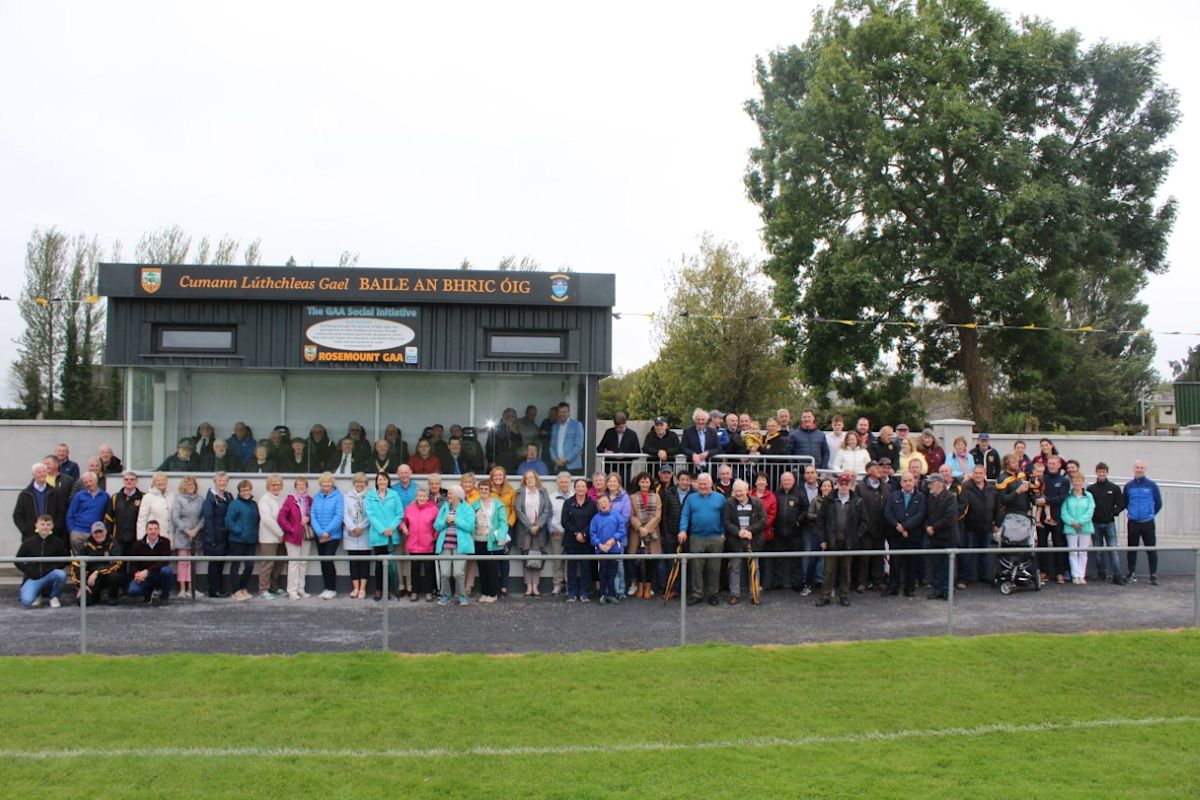 Rosemount GAAGAA ground · 1584 yd
 Faheeran Castle (in ruins)Castle, unclassified · 1.0 mi
Explorer Tom Faheeran Castle in Faheeran is perched on a high ridge, looking smug with its wide views. The wind picks on it because…
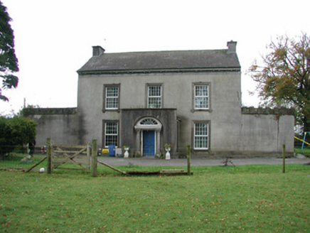 Springfield HouseHouse · 1.5 mi
Explorer Tom Springfield House in Faheeran caused the whole parish to argue about whose turn it was to fix the porch steps. It has a…
 CastleCastle, unclassified · 1.5 mi
Explorer Tom Castle in Creeve has a retirement plan involving becoming a very expensive compost heap. Its precise location is…
 Laragh CastleCastle · 1.6 mi
Explorer Tom Laragh Castle is a McGeoghan tower standing next to a public road, judging every car that drives past with its…
 Enclosure in FaheeranEnclosure · 1.7 mi
Explorer Tom Enclosure in Faheeran is actually a drainage feature that got mistaken for something with historical significance by…
 Fairy fort / earthen ringfort in LisnagreeFairy fort / earthen ringfort · 1.7 mi
Explorer Tom Fairy fort / earthen ringfort in Lisnagree thinks it’s the shortcut when really it’s just a muddy circle that eats your…
 Mapped cemeteryCemetery · 2.1 mi
Explorer Tom Mapped cemetery in County Offaly was once managed by a matchmaker who specialized in pairing ghosts with living…
More archaeology and monuments in County Westmeath · All of County Westmeath

What do you know about this place?Tap to add a comment or ask a question