What is recorded here
Rectangular conglomerate stone (H 1.2m; 0.65m x 0.4m) which tapers at the top from NE to SW. No evidence of packing stones at its base, the stone appears to be set deeply into the ground. Aligned NE-SW.
The above description is derived from the published 'Archaeological Inventory of County Offaly' (Dublin: Stationery Office, 1997). In certain instances the entries have been revised and updated in the light of recent research.
Date of upload: 23 May 2011
The monument record does not grant public access. Check the route and ask the landowner before entering private land.
- What survives
- Recorded monument
Places near here
 IndicatedFairy fort / earthen ringfort · 137 yd
 Crannog in Cartron GlebeCrannog · 926 yd
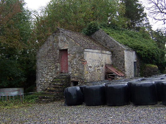 outbuildingoutbuilding · 1296 yd
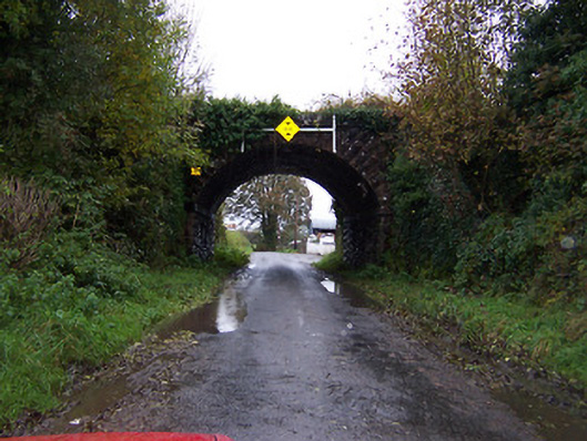 bridgebridge · 1331 yd
 Faheeran Castle (ruins)Castle · 1.1 mi
 Partially hachuredBawn · 1.1 mi
 Kilmalady HillMountain / peak · 2.9 mi
 ToberaskeenSpring · 3.6 mi
 Roughan HillMountain / peak · 3.6 mi
 Charles BianconiMemorial · 4.1 mi
 The Bob Traynor GalleryGallery · 4.2 mi
 Chapel HillForest · 4.5 mi