What is recorded here
Not visible at ground level. Possible Crannog site identified by Victor Buckley in 1980 and which may have been destroyed during drainage operations carried out in the area during the 1980's.
From the National Monuments Service (Archaeological Survey of Ireland) record OF002-002
The monument record does not grant public access. Check the route and ask the landowner before entering private land.
- What survives
- Recorded monument
Places near here
Photo credits
- National Inventory of Architectural Heritage
- Mike Searle, Geograph · CC BY-SA 2.0
- A.-K. D., Wikimedia Commons · CC BY-SA 4.0
- Willow, Wikimedia Commons · CC BY 2.5
- dougf, Wikimedia Commons · CC BY-SA 2.0
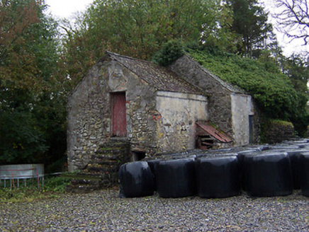 outbuilding1241 yd
 bridge1310 yd
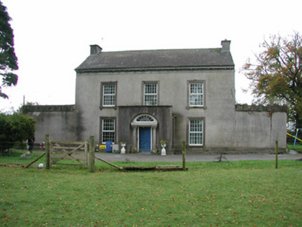 Springfield HouseHouse · 1442 yd
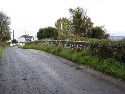 bridge1.2 mi
 Temple HouseHouse · 1.4 mi
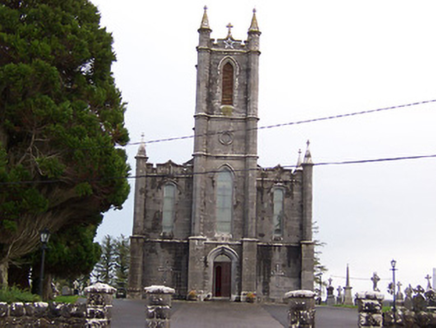 Saint Thomas's Catholic ChurchChurch/chapel · 1.4 mi
 Laragh CastleCastle · 1.8 mi
 AbbeyHermitage · 8.8 mi
 European ash8.9 mi
 St. Managhans WellHoly well · 8.9 mi
 Esker CastleCastle, tower house · 9.0 miEuropean ash9.3 mi
More archaeology and monuments in County Offaly · All of County Offaly
What do you know about this place?