What is recorded here
In 1984 Sheehan recorded that an aerial slide of the site tends to suggest that the graveyard at Kilcumreragh (WM031-079001-) formed part of a larger enclosure (SMR file 10/10/1984). Possible ecclesiastical enclosure identified by Swan (1988, 17) who recorded that there was evidence of a possible enclosure in the quadrantal form of the boundary wall of the graveyard (WM031-079001-). The graveyard boundary wall curves from W-N-NNE which may follow the line of an earlier ecclesiastical enclosure. However it is also possible that the post-1700 graveyard boundary wall follows the contour of the hillock on which it stands rather than following the line of an earlier enclosure.
In 1984 Sheehan recorded that an aerial slide of the site tends to suggest that the graveyard at Kilcumreragh (WM031-079001-) formed part of a larger enclosure (SMR file 10/10/1984). Possible ecclesiastical enclosure identified by Swan (1988, 17) who recorded that there was evidence of a possible enclosure in the quadrantal form of the boundary wall of the graveyard (WM031-079001-). The graveyard boundary wall…
From the National Monuments Service (Archaeological Survey of Ireland) record WM031-079002
The monument record does not grant public access. Check the route and ask the landowner before entering private land.
- What survives
- Recorded monument
Places near here
Photo credits
- National Inventory of Architectural Heritage
- Mike Searle, Geograph · CC BY-SA 2.0
- Wikimedia Commons contributor · CC BY-SA 3.0
- Willow, Wikimedia Commons · CC BY 2.5
- Maker named on the Wikimedia Commons picture page · CC BY-SA 2.5
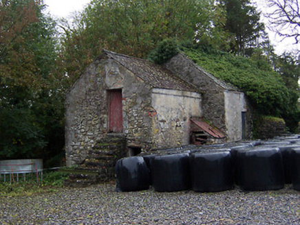 outbuilding164 yd
 bridge224 ydCrannog in Cartron GlebeCrannog · 1168 yd
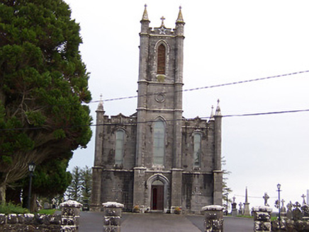 Saint Thomas's Catholic ChurchChurch/chapel · 1397 ydIndicatedFairy fort / earthen ringfort · 1408 yd
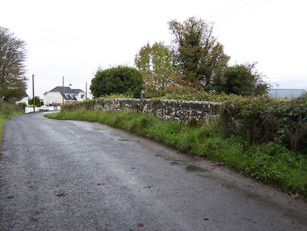 bridge1591 yd
 Oldcourt HouseDemesne walls/gates/railings · 1.1 mi
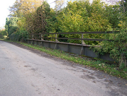 bridge1.3 mi
 Laragh CastleCastle · 1.6 mi
 Moydrum CastleCastle · 9.1 mi
 European ash9.3 mi
 Sessile Oak9.4 mi
More archaeology and monuments in County Westmeath · All of County Westmeath
What do you know about this place?