What is recorded here
In pasture, on a levelled-off area of a N-facing slope. Roughly rectangular area (dims. 33m N-S; 15.5m E-W) defined by a relatively modern, well built stone wall (average exterior H c. 1.5m; int. H c. 1.5-2m; T 0.45-0.5m). Stone stile on S side of wall for access into interior; some stones missing. The interior is densely overgrown with briars up to and over height of wall (int. H 1.5-2m). A rectangular plot within, off-centre to N, is defined by cast iron railing and obscured by mature conifer. An E-facing 19th-century headstone is visible to the W. There is a large crucifix mid-way along the S wall, facing N into the interior. The church (TS061-100001-) is c. 18m to the S. According to White (1892, 15), headstones are erected to Thomas Walsh in 1784 and John Fitzgerald in 1823. It is depicted on the 1840 edition OS 6-inch map as a sub-oval area (dims. 20m N-S; 10m E-W) and according to White (ibid.) the enclosing wall had been erected recently by the Poor Law Guardians.
Compiled by: Jean Farrelly
Date of upload: 26 August 2011
The monument record does not grant public access. Check the route and ask the landowner before entering private land.
- What survives
- Recorded monument
Places near here
 Kilconnell Church (in ruins)Church · 42 yd
 IndicatedBawn · 230 yd
 Enclosure in KilconnellEnclosure · 360 yd
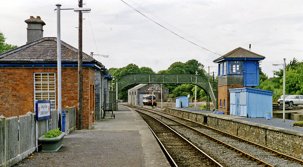 Enclosure in Railstown (kilconnell Par.)Enclosure · 1297 yd
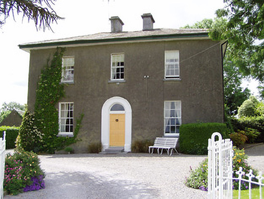 Sandygrove Househouse · 1.2 mi
 CastleCastle, ringwork and bailey · 1.6 mi
 Ballyknock HillMountain / peak · 3.6 mi
 Cashel Folk MusuemMuseum · 4.0 mi
 Black mulberryBlack mulberry · 4.0 mi
 The Rock Of CashelVisitor information · 4.1 mi
 Cormac's ChapelHeritage attraction · 4.1 mi
 European YewEuropean Yew · 5.1 mi