
What is recorded here
In young deciduous forestry, on generally level area. Access to interior not gained due to impenetrable overgrowth. Enclosure is depicted on the 2nd (1952-54) ed. OS 6-inch map as a circular area (overall map diam. c. 36m) defined by scarp from SE-W-N, with a pond at the base of the scarp from SW-W-N. The deep, waterlogged pond was visible W-N and was only accessible at W. Forestry buffer zone (max. 15) SW-W reduced to (c. 10m) W-NE. Remainder of exterior not seen due to overgrowth between monument and field boundaries to E and S.
Compiled by: Jean Farrelly
Date of upload: 26 August 2011
The monument record does not grant public access. Check the route and ask the landowner before entering private land.
- What survives
- Recorded monument
Places near here
 IndicatedBawn · 306 yd
 Kilconnell Church (in ruins)Church · 321 yd
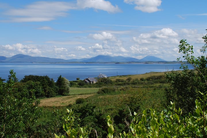 Enclosure in KilsallaghEnclosure · 1118 yd
 Enclosure in Railstown (railstown Par.)Enclosure · 1270 yd
 Railstown Church (in ruins)Church · 1.0 mi
 Bawn in Ballyduagh (railstown Par.)Bawn · 1.6 mi
 Ballyknock HillMountain / peak · 3.6 mi
 Cashel Folk MusuemMuseum · 4.0 mi
 Black mulberryBlack mulberry · 4.0 mi
 The Rock Of CashelVisitor information · 4.1 mi
 Cormac's ChapelHeritage attraction · 4.1 mi
 European YewEuropean Yew · 5.1 mi
Other information
Photo: Credit not shown in the picture search · Rights wording not checked; contact us if this picture should be removed