What is recorded here
On flat grassland at base of NW facing slope of the Slievardagh hills with good views to N and W and higher ground to S and E. Nearby enclosure (TS049-011----) 360m to E. All that survives of the monument is a scarp (H 1m; L 20m) defining the W side of the burial ground which peters out and merges into the ground without any evidence of an enclosing element elsewhere, depicted as a triangular shaped enclosure on latest edition of the OS 6-inch map. Several undulations in field around burial ground which may be the result of quarrying or agricultural activity. According to local tradition this was the site of a church and graveyard, the former being identified with several low rock outcrops in the field (McCormack 1989, 13). No evidence for any church or stones which may be the remains of a church. Remains of old disused road two fields to E of graveyard. Described by O'Donovan (O'Flanagan 1930, vol. 1, 156) in 1840 as an old graveyard which has been effaced.
Compiled by: Jean Farrelly
Date of upload: 26 August 2011
The monument record does not grant public access. Check the route and ask the landowner before entering private land.
- What survives
- Recorded monument
Places near here
 Bregaun HillMountain / peak · 690 yd
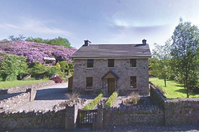 CastleCastle, unclassified · 1285 yd
 Knockaun FortArchaeological place · 1322 yd
 IndicatedFairy fort / earthen ringfort · 1324 yd
 Clonamicklon Castle (in ruins)Bawn · 1506 yd
 Littlefield Housecountry house · 1.3 mi
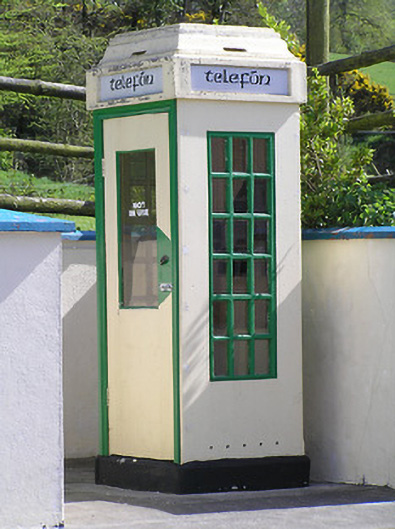 telephone boxtelephone box · 1.3 mi
 Rapefield WoodForest · 1.3 mi
 Kilcooly AbbeyHeritage attraction · 1.7 mi
 Deerpark WoodWood · 1.8 mi
 Warhouse HillMountain / peak · 2.8 mi
 Derrynaflan TrailHeritage attraction · 5.9 mi