What is recorded here
Just off top of hill in the Slieveardagh Hills on the NW facing slope, in grassland with panoramic views from W through N to E and higher ground to S. Fine panoramic views of Grange village and Clonamicklon castle (TS049-002----) to NE and N respectively. Burial ground (TS049-010----) 360m to W. Field in which enclosure is situated has just been planted with a mixture of conifers and broad leaves with an circular area (diam. 33m N-S; 35m E-W 35m-) fenced off which contains the enclosure. No visible remains of enclosure inside fenced off area, field was in high grass at time of visit and any low earthwork would have been obscured by the grass. No other features visible, no access road into enclosure which in several years time will probably be inaccessible.
Compiled by: Jean Farrelly
Date of upload: 26 August 2011
The monument record does not grant public access. Check the route and ask the landowner before entering private land.
- What survives
- Recorded monument
Places near here
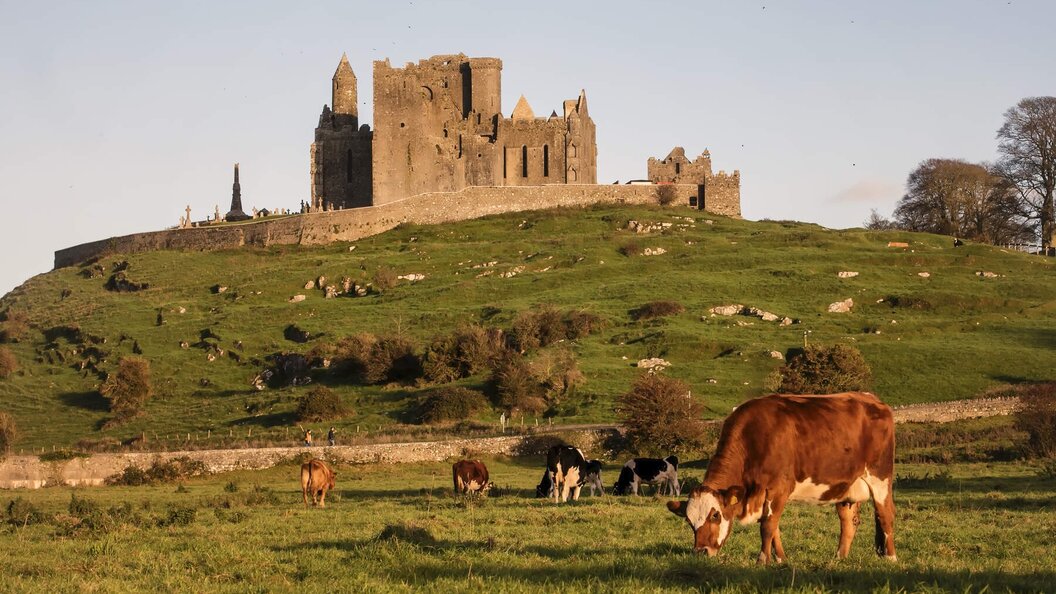 IndicatedEnclosure · 826 yd
 Bregaun HillMountain / peak · 980 yd
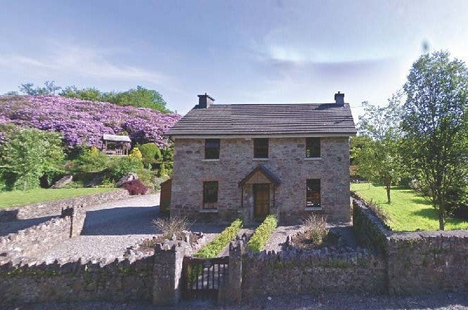 CastleCastle, unclassified · 1683 yd
 Knockaun FortArchaeological place · 1715 yd
 Clonamicklon Castle (in ruins)Bawn · 1750 yd
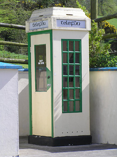 telephone boxtelephone box · 1.1 mi
 Rapefield WoodForest · 1.2 mi
 icehouseicehouse · 1.3 mi
 Deerpark WoodWood · 1.6 mi
 Kilcooly AbbeyHeritage attraction · 1.6 mi
 Warhouse HillMountain / peak · 2.7 mi
 Derrynaflan TrailHeritage attraction · 6.2 mi