
Places near here
Photo credits
- National Inventory of Architectural Heritage
- Wexford GAA; photographer not named, wexfordgaa.ie
- Mike Searle, Wikimedia Commons · CC BY-SA 2.0
- Kmcnamee, Wikimedia Commons · CC BY-SA 4.0
- Richard Webb, Geograph · CC BY-SA 2.0
- David Purchase, Wikimedia Commons · CC BY-SA 2.0
- Colin Park, Geograph · CC BY-SA 2.0
- Julie Anne Workman, Wikimedia Commons · CC BY-SA 3.0
Explorer Tom Ladys Well in Kayle was probably built by a guy who thought hiding it in the shrubbery would make it mysterious, but it…
 Yoletown MillMill (water) · 1033 yd
Explorer Tom Yoletown Mill thinks the road leading to it is a direct insult to its industrial heritage, probably because it was…
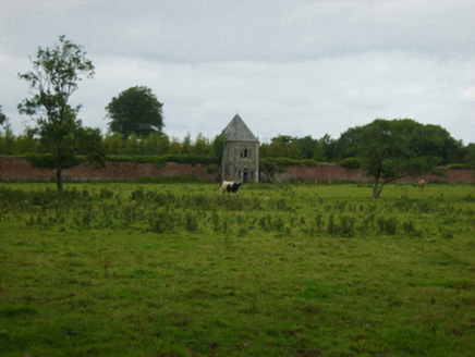 Abbey VilleBuilding misc · 1111 yd
Explorer Tom Abbey Ville in Kilbraney is an apple barn that thinks it’s a folly, which is a bold move for a fruit storage unit. It’s…
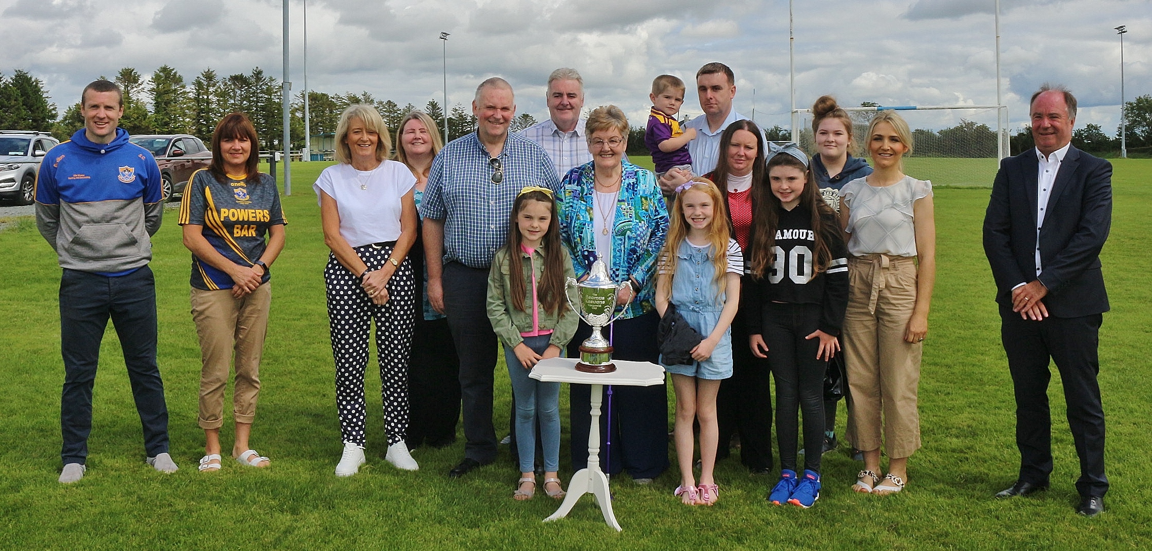 Tom Somers Park, Gusserane O'Rahillys GAAGAA ground · 1.3 mi
 Rathumney Castle (in ruins)Castle, hall-house · 2.3 mi
Explorer Tom Rathumney Castle in County Wexford is actually short for 'The House Where Nobody Can Agree On The Date'. It’s been…
 Clongeen GAAGAA ground · 2.5 mi
 Castle (in ruins)Castle, tower house · 3.6 mi
Explorer Tom Castle in Tellarought once had a huge argument about whether it was actually haunted or just really bad at maintaining…
 Carrickbyrne HillMountain / peak · 4.7 mi
Explorer Tom Carrickbyrne Hill would be the uncle at a wedding who eats too much and falls asleep before the cake. It’s got that…
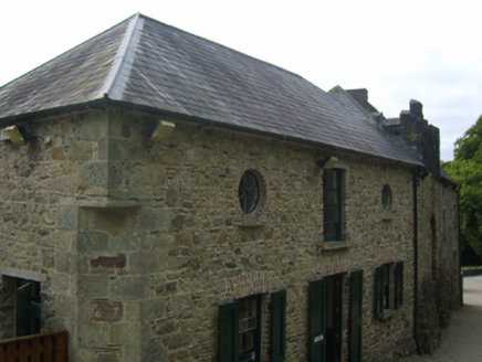 Tintern AbbeyStables · 4.9 mi
Explorer Tom These Tintern stables are dreaming of winning the lotto so they can buy themselves a new roof and a very expensive rug.…
 SlievecoiltiaMountain / peak · 5.1 mi
Explorer Tom Slievecoiltia was built by someone who really wanted it to be smooth but couldn’t stop adding bumps. Now it looks like…
 Campile WWII Bombing MemorialMemorial · 5.1 mi
Explorer Tom Campile WWII Bombing Memorial would tell a teenager that the 1800s were basically just this place but with worse…
 Common Whitebeam6.5 mi
Explorer Tom Common Whitebeam has a secret talent for looking surprised every single time you blink at it. It’s basically a tree…
More archaeology and monuments in County Wexford · All of County Wexford

What do you know about this place?Tap to add a comment or ask a question