What is recorded here
A scarped edge (H 1.2m; Wth 3.2m) extends to the NW from the shoreline for c. 20m before curving around to the NE and continuing for at least another 20m. Immediately to the E of the scarp is a roughly L-shaped area (Wth c. 12m) of uneven ground covered by scrub overgrowth; this contains the ruins of a possible church (SL040-050001-). There are no grave-markers in this area nor is there any other feature characteristic of a graveyard. There is no known record of a monastic foundation here (Gwynn and Hadcock 1970, 365).
The above description is derived from the published 'Archaeological Inventory of County Sligo' compiled by Ursula Egan, Elizabeth Byrne, Mary Sleeman with Sheila Ronan and Connie Murphy (Dublin Stationery Office, 2005).
Date of upload: 18 January 2008
A Bronze Age cist burial site; associated with early island settlement and megalithic traditions in the Aran Islands.
The monument record does not grant public access. Check the route and ask the landowner before entering private land.
- What survives
- Recorded monument
Places near here
 Monastery (in Ruins)Church · 2 yd
 InishmoreIslet · 515 yd
 TumulusCastle, motte · 620 yd
 IndicatedSweathouse · 880 yd
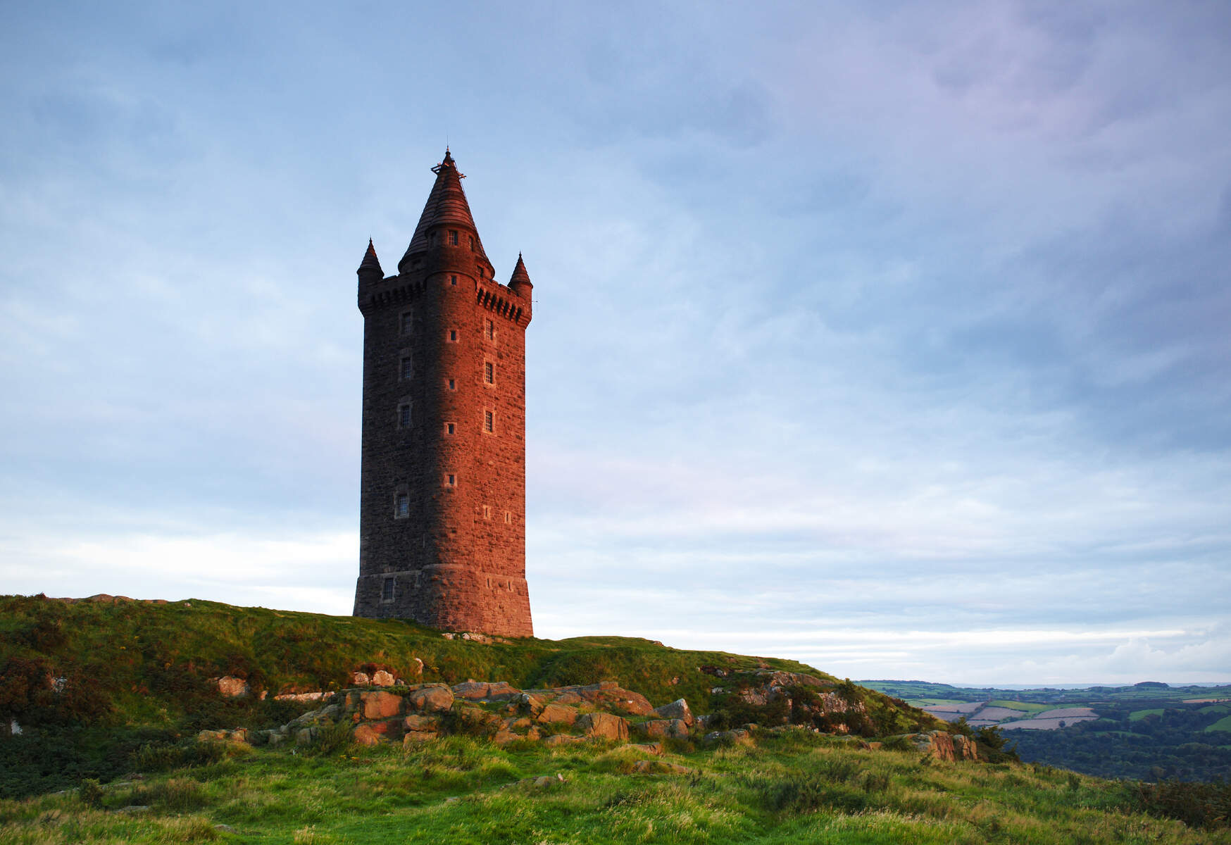 Tower (in Ruins)Structure · 1268 yd
 Quarry in BallynaryQuarry · 1329 yd
 Annaghgowla IslandIslet · 1363 yd
 Ballindoon Castle (in Ruins)Castle, unclassified · 1449 yd
 Loughbrick BayBay · 1680 yd
 Barroe NorthMountain / peak · 1.8 mi
 Bricklieve MountainsMountain / peak · 2.3 mi
 Treanscrabbagh caveCave · 2.8 mi