
What is recorded here
Listed in the SMR (1989) and classified as 'Enclosure Possible'. Not marked on the 1838 edition of the OS 6-inch map. Its inclusion in the SMR is based upon cartographic evidence (the 1914 edition of the OS 6-inch map). Upon inspection in 1993 no remains of an enclosure was identified here. However there was evidence for of quarrying into the slope of the drumlin. Re-examination of the 1914 map revealed that what is indicated is in fact an area of quarrying.
Compiled by: Archaeological Survey Unit, UCC
Date of upload: 22 November 2011
The monument record does not grant public access. Check the route and ask the landowner before entering private land.
- What survives
- Recorded monument
Places near here
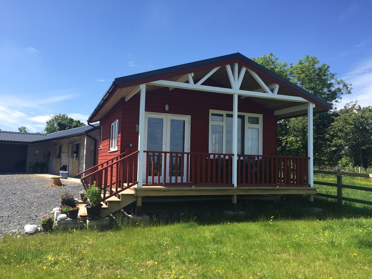 Hut site in CarrigeenblikeHut site · 583 yd
 IndicatedSweathouse · 686 yd
 Loughbrick BayBay · 852 yd
 Monastery (in Ruins)Church · 1327 yd
 Ballindoon Castle (in Ruins)Castle, unclassified · 1571 yd
 InishmoreIslet · 1572 yd
 TumulusCastle, motte · 1704 yd
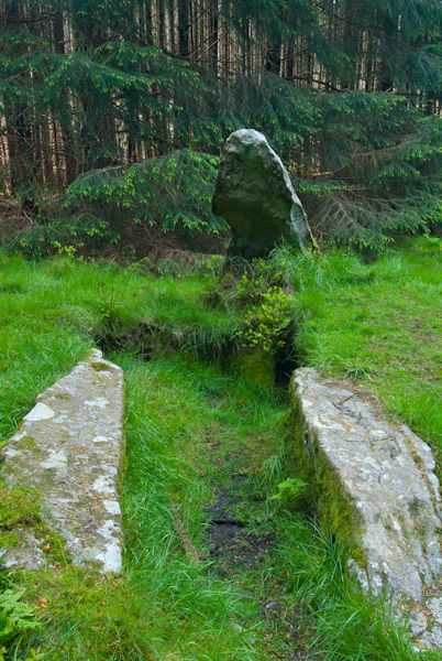 Giants GraveHouse, 18th/19th century · 1.0 mi
 Muck IslandIslet · 1.2 mi
 Barroe NorthMountain / peak · 1.4 mi
 Carricknahorna EastMountain / peak · 2.9 mi
 Geevagh Prisoners 1908 MemorialMemorial · 3.2 mi
Other information
Photo: Credit not shown in the picture search · Rights wording not checked; contact us if this picture should be removed