
What is recorded here
From the National Monuments Service (Archaeological Survey of Ireland) record KD004-018003
Places near here
Photo credits
- Maker not stated on source page, fi.pinterest.com
- Maker not stated on source page, www.flickr.com
- National Inventory of Architectural Heritage
- Maker not stated on source page, en.topwar.ru
- Maker not stated on source page, commons.wikimedia.org
- Maker not stated on source page, en.wikipedia.org
- Maker not stated on source page, monumentalireland.ie
- Cappagh GAA; photographer not stated, www.cappaghgaa.com
- Maker not stated on source page, www.hellotravel.com
- Maker not stated on source page, es.pinterest.com
 Mapped cemeteryCemetery · 8 yd
Explorer Tom Its New Year's resolution was to stop moving, but it has shifted two inches to the left since January. It’s probably…
 CastleCastle, unclassified · 665 yd
Explorer Tom Castle in Hortland, County Kildare would survive a zombie attack by simply pretending not to be there. It vanished so…
 water pump1057 yd
Explorer Tom Water pump in Ovidstown is guarding a secret tunnel that definitely leads straight to the local pub cellar. The leafy…
 Enclosure in BallyteigeEnclosure · 1174 yd
Explorer Tom Enclosure in Ballyteige hates when geese land on its cropmark and start squawking like they own the place. It’s a big…
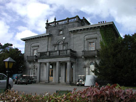 Knockanally HouseCountry house · 1433 yd
Explorer Tom Knockanally House has a secret talent for looking expensive while being slightly tired on the inside. The limestone is…
Enclosure in CorcoranstownEnclosure · 1451 ydExplorer Tom Enclosure in Corcoranstown explains the 1800s as 'a time when circles were cool'. It’s forty-six metres across and…
 Concentric enclosure in GraigroothConcentric enclosure · 1654 yd
Explorer Tom Concentric enclosure in Graigrooth is wearing two belts because one wasn't enough. It’s basically a target practice…
 Earthwork in CorcoranstownEarthwork · 1.0 mi
Explorer Tom Earthwork in Corcoranstown offers a shortcut that is definitely not a shortcut, just a circle. You’ll end up where you…
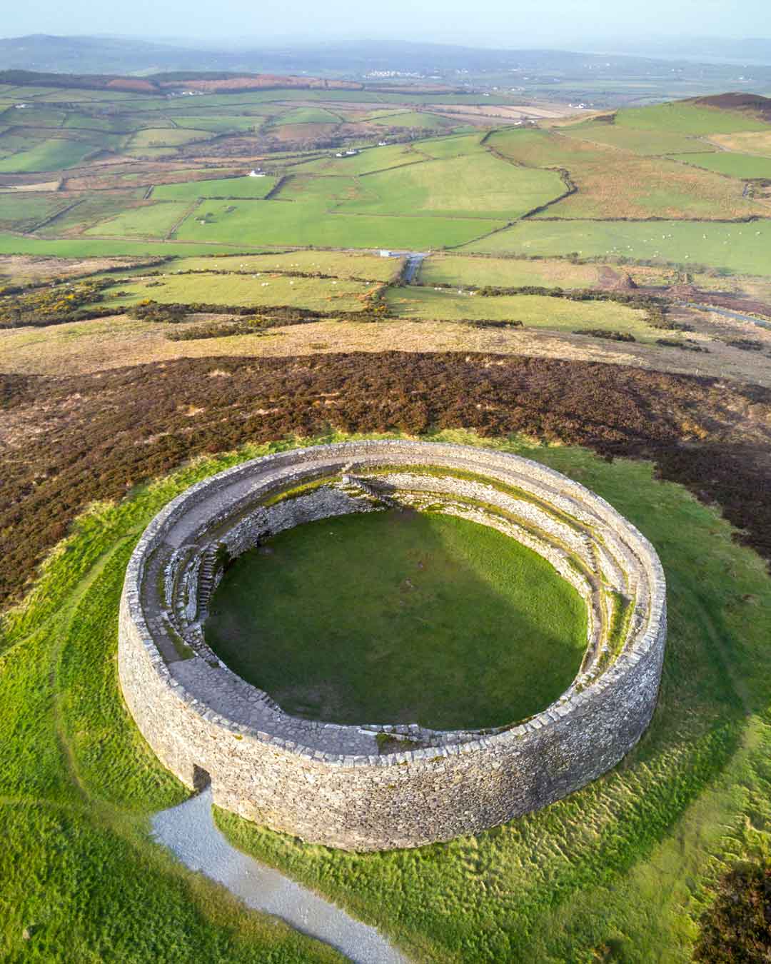 Fairy fort / ringfort in FanaghsFairy fort / ringfort · 1.2 mi
Explorer Tom Fairy fort / ringfort in Fanaghs has a family tree that’s mostly made up, which is ironic considering it’s a fairy…
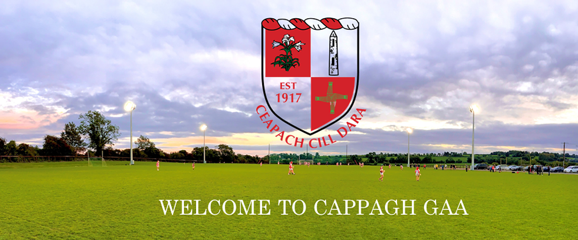 Cappagh GAA pitchGAA ground · 2.0 mi
 Quakers CemeteryCemetery · 3.7 mi
Explorer Tom Quakers Cemetery is telling off the modern houses that popped up right next door, saying they're too noisy and not…
 Site of Timahoe CastleCastle, unclassified · 3.8 mi
Explorer Tom Site of Timahoe Castle has been cleared away for thirty years but still holds a grudge. The weather absolutely hates…
More archaeology and monuments in County Kildare · All of County Kildare

What do you know about this place?Tap to add a comment or ask a question