What is recorded here
Yes. Facts and records still agree. I want to keep that clarity visible in the answer.
Shown on the 1st ed. (1838) of the OS 6-inch map as a large circular area (est. max. diam. c. 60m), but not recorded on the latest ed. (1911) of the map. Near the E foot of a long, gentle, pasture slope. A small, very poorly preserved, circular area (int. diams; 25.5m N-S; 24m E-W) is defined by a low scarp (H 0.1-0.3m) and a broad, shallow, outer fosse (Wth 7m; D 0.1m) NE-S-NW, recut as a later drain along W and used as a tractor track along S.
Compiled by: Gearóid Conroy
Date of upload: 10 June 2011
The monument record does not grant public access. Check the route and ask the landowner before entering private land.
- What survives
- Recorded monument
Places near here
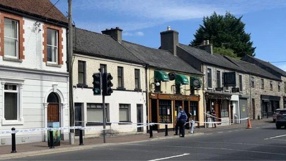 Enclosure in FanaghsEnclosure · 882 yd
 Enclosure in Cooltrim SouthEnclosure · 1102 yd
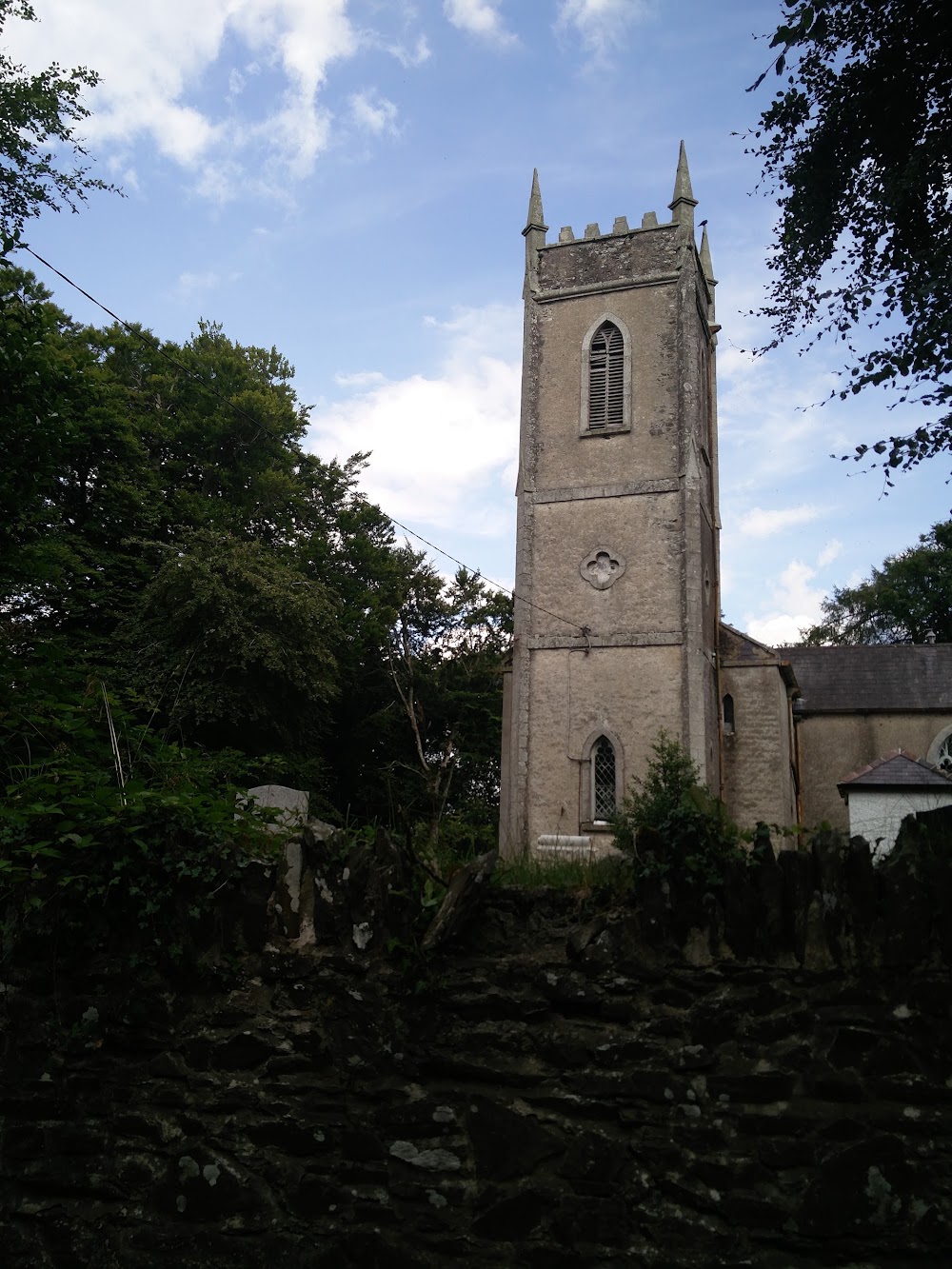 Church in HortlandChurch · 1.2 mi
 MoatCastle, motte · 1.2 mi
 water pumpwater pump · 1.4 mi
 9/11 MemorialMemorial · 1.6 mi
 Donadea Forest ParkVisitor information · 1.7 mi
 Donadea CastleCastle, tower house · 1.7 mi
 The Grill ShackHeritage attraction · 1.8 mi
 Loughtown CovertWood · 2.6 mi
 Mass was there in Penal TimesMemorial · 3.3 mi
 European ashEuropean ash · 4.2 mi