
What is recorded here
From the National Monuments Service (Archaeological Survey of Ireland) record KD027-023001
Places near here
Photo credits
- Maker not stated on source page, www.pinterest.com
- Madhbh, Wikimedia Commons · CC BY-SA 4.0
- Sarah777, Geograph · CC BY-SA 2.0
- National Inventory of Architectural Heritage
- Kildangan GAA club website; individual photographer not named, www.kildangangaa.com
- Jimmy Fullam, credited by Kildare Nationalist, www.kildare-nationalist.ie
- Maker not stated on source page, commons.wikimedia.org
- Maker not stated on source page, readymap.irish
- Maker not stated on source page, www.flickr.com
 Graveyard in Walterstown (nurney Ed)Graveyard · 1651 yd
Explorer Tom Walterstown’s graveyard had its field bank bulldozed, which is basically a fairy dispute over parking rights on…
 Catholic Church of the Sacred HeartChurch/chapel · 1695 yd
Explorer Tom There's serious drama between this church and the nearest tree, which blocks its light. The Sacred Heart church is…
 O'BrienHouse · 1697 yd
Explorer Tom O'Brien in Walterstown would use its lotto win to buy a bigger garden and ignore everyone else’s business. It stands at…
 The PresbyteryPresbytery/parochial/curate's house · 1698 yd
Explorer Tom The Presbytery: Nurney Presbytery is proud of its canted bay windows, which are basically the church’s way of saying…
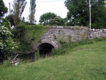 Nurney BridgeBridge · 1706 yd
Explorer Tom Nurney Bridge has strong feelings about modern cars and probably hates the drainage scheme that made it famous. It…
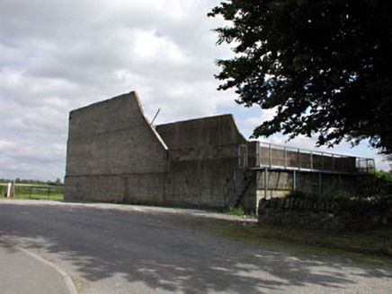 handball alley1.0 mi
Explorer Tom Handball alley in Nurney goes *thwack* all night long, waking up the ghosts of nation-building. It’s one of the last…
 Kildangan CastleCastle, unclassified · 1.2 mi
Explorer Tom Kildangan Castle in Kildangan has a secret talent for getting dynamited when you least expect it. The FitzGeralds left…
 Kildangan GAA pitchGAA ground · 1.2 mi
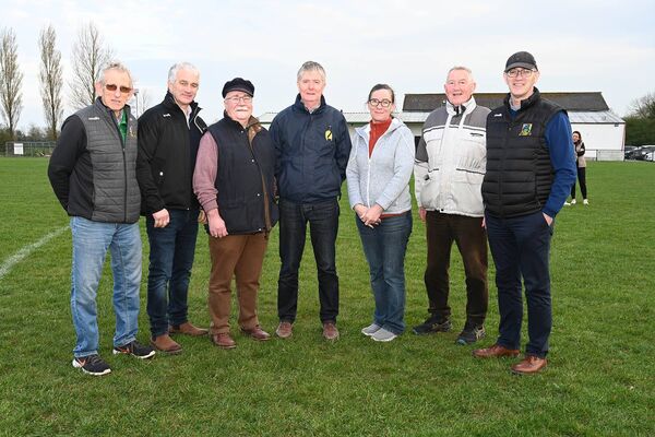 Nurney GAA pitchGAA ground · 1.4 mi
 Fairy fort / earthen ringfort in DuneanyFairy fort / earthen ringfort · 1.6 mi
Explorer Tom Fairy fort / earthen ringfort in Duneany was built on a hilltop using a bargain struck with someone very sneaky. It has…
 Duneany GraveyardGraveyard · 1.8 mi
Explorer Tom Duneany Graveyard has a dating profile that says it is looking for someone quiet, with deep roots, and a good sense of…
 Enclosure in DuneanyEnclosure · 1.9 mi
Explorer Tom Enclosure in Duneany refuses to fall down because it's holding on with pure stubbornness and a bit of luck. It has an…
More archaeology and monuments in County Kildare · All of County Kildare

What do you know about this place?Tap to add a comment or ask a question