What is recorded here
Depicted with a dashed line as a roughly oval-shaped area, with trees growing around the perimeter, on the 1839 OS 6-inch map and a church (CW013-023001-) roughly centrally placed. On the 1908 OS 6-inch map the graveyard is depicted as a circular area (map diam. 38m) and the central church is indicated by a cross as 'Gilbertstown Church (Site of)'.
From the National Monuments Service (Archaeological Survey of Ireland) record CW013-023003
The monument record does not grant public access. Check the route and ask the landowner before entering private land.
- What survives
- Recorded monument
Places near here
Photo credits
- National Inventory of Architectural Heritage
- liam murphy, Geograph · CC BY-SA 2.0
- Algirdas at Lithuanian Wikipedia, Wikimedia Commons · Public domain
- liam murphy, Geograph · Creative Commons Attribution-ShareAlike 2.0
- liam murphy, Wikimedia Commons · CC BY-SA 2.0
- Hello, I am Bruce on Flickr, Wikimedia Commons · CC BY-SA 2.0
- Colin Park, Geograph · CC BY-SA 2.0
- Elliot Tucker, Wikimedia Commons · CC BY-SA 4.0
- Poleary91, Wikimedia Commons · CC BY-SA 4.0
- Smirkybec, Wikimedia Commons · CC BY-SA 4.0
- VisionsofthePast, Wikimedia Commons · CC BY-SA 4.0
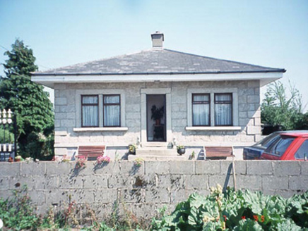 Kilknock HouseGate lodge · 1.0 mi
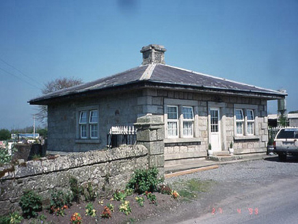 Kilknock HouseGate lodge · 1.1 mi
 Church (in ruins), GraveyardChurch · 1.3 mi
 Pedunculate Oak2.9 mi
 Graveyard3.0 mi
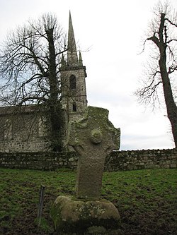 CrossCross, High cross · 4.0 mi
 Scots Pine4.8 mi
 Altamont Gardens MapVisitor information · 4.8 mi
 Brownshill Portal TombVisitor information · 5.2 mi
 Ballymoon Castle (in ruins)Castle, Anglo-Norman masonry castle · 6.0 mi
 Carlow County MuseumMuseum · 6.4 mi
 CastleCastle, Anglo-Norman masonry castle · 6.6 mi
More archaeology and monuments in County Carlow · All of County Carlow
What do you know about this place?