What is recorded here
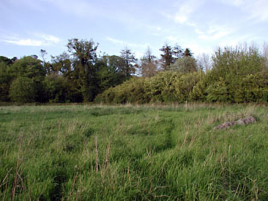
Located on the outer edge of a shelf towards the bottom of a gentle S-facing slope. The parish church of Gernonstown (ME019-006----) is within a rectangular graveyard (dims c. 50m E-W; c. 40m N-S). The font (ME019-006002-) that was in the graveyard is now outside the Roman Catholic church at Rushwee (ME019-118----), c. 1km to the S.
Compiled by: Michael Moore
Date of uplaod: 15 December, 2014
The monument record does not grant public access. Check the route and ask the landowner before entering private land.
- What survives
- Recorded monument
Places near here
 Font in GernonstownFont · 4 yd
 Embanked enclosureFairy fort / earthen ringfort · 295 yd
 Pollmore WoodWood · 1377 yd
 Boyle's Fox CovertWood · 1.3 mi
 Slane CastleCastle, unclassified · 1.5 mi
 Church in CarrickdexterChurch · 1.6 mi
 walled gardenwalled garden · 1.6 mi
 MoatCastle, motte · 1.9 mi
 Pat's Art StudioGallery · 2.2 mi
 RiverviewMemorial · 2.3 mi
 Mullagha HillMountain / peak · 2.6 mi
 Simpson's MountainMountain / peak · 2.9 mi