What is recorded here
Just below crest of hill, overlooking South Lodge house which lies to NE. On the 1st (1840) ed. OS 6-inch map the graveyard appears to occupy a triangular area (dims. 70m NE-SW; 52m NW-SE), which by the 1901-05 ed. is reduced to a roughly diamond-shaped area (dims. 44m NE-SW; 20m NW-SE) in the eastern portion of the larger triangular area. A stone wall delineates the W side of graveyard which is otherwise undefined, though the area of the tombstones has been fenced in with post and wire fencing. Gallop-ring immediately S of graveyard. There are eleven table-top tombs, dating from the late 18th century (1799 is earliest legible inscription) to the 19th century. There are also three unmarked crude upright headstones. Graveyard no doubt served members of the South Lodge household. No visible trace of the church (TS078-018001-) at ground level.
Compiled by: Jean Farrelly
Date of revised upload: 7 January 2015
This remains an important historical record, but the official description says the monument is no longer visible or has been destroyed. The monument record does not grant public access. Check the route and ask the landowner before entering private land.
- What survives
- No visible remains or recorded as destroyed
Places near here
 Church in GarrangibbonChurch · 1 yd
 CastleCastle, ringwork · 697 yd
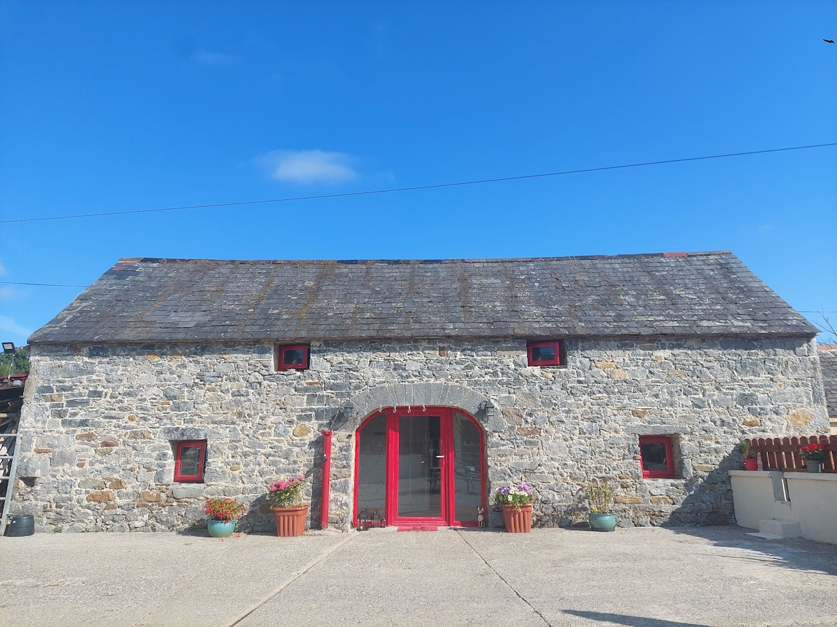 Enclosure in Bleenaleen UpperEnclosure · 1329 yd
 Enclosure in Garryduff (garrangibbon Par.)Enclosure · 1713 yd
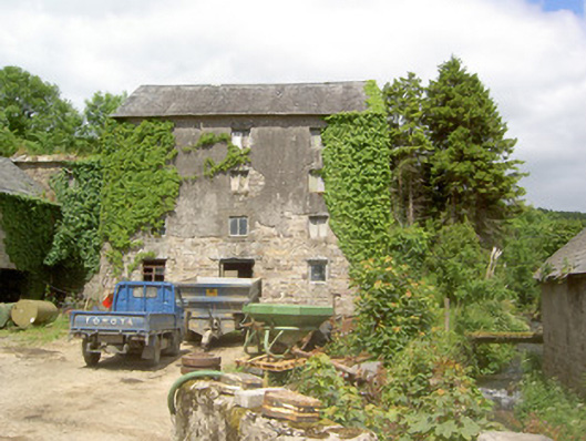 mill (water)mill (water) · 1.3 mi
 Curraghdobbin HillMountain / peak · 1.4 mi
 Wild CherryWild Cherry · 1.5 mi
 Kilcash WoodForest · 1.8 mi
 Carrigaloe RockNamed rock · 2.0 mi
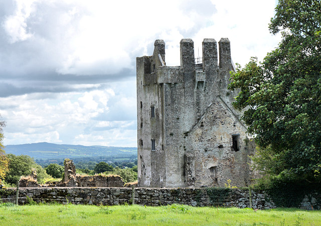 Bawn in KilcashBawn · 2.5 mi
 The SpoutMemorial · 3.0 mi
 SheegounaMountain / peak · 3.2 mi