What is recorded here
Down Survey lines and a Civil Survey claim placed a castle near the present South Lodge house, but no wall, ditch or gate has answered that invitation. James Tobyn held the land in 1640, yet the stones vanished before memory could keep them. The castle may still lie beneath grass or have been consumed by the house that replaced it. Garrangibbon keeps its shape but refuses to show the castle that gave the shape its name.
Castle at Garrangibbon is depicted on the mid-17th century Down Survey map and is mentioned in the Civil Survey (1654-6) 'Upon this land stands a castle' and the proprietor in 1640 was 'James Tobyn of Garrangibbon Irish Papist' (Simington 1931, vol. 1, 143). Based on the Down Survey depiction the castle was probably located in the vicinty of the present South Lodge house. South Lodge house is of late 18th or early 19th century date with no external indication of earlier fabric. Present owner knew of no tradition of a castle associated with the townland, the castle remains unlocated within the townland.
Compiled by: Jean Farrelly
Date of upload: 26 August 2011
James Tobyn of Garrangibbon was the proprietor of the castle in 1640. The site is historically significant as it appears on 17th-century surveys, reflecting land ownership and structures during the Cromwellian period in Ireland.
The monument record does not grant public access. Check the route and ask the landowner before entering private land.
- What survives
- Recorded monument
Places near here
 Church in GarrangibbonChurch · 99 yd
 CastleCastle, ringwork · 794 yd
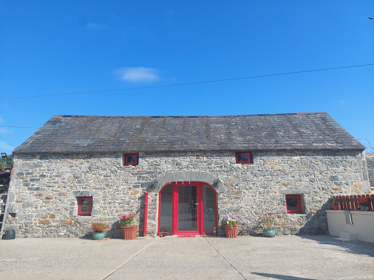 Enclosure in Bleenaleen UpperEnclosure · 1229 yd
 Standing stone in BallinvirStanding stone · 1664 yd
 Whitehall Bridgebridge · 1.4 mi
 Curraghdobbin HillMountain / peak · 1.4 mi
 Wild CherryWild Cherry · 1.5 mi
 Kilcash WoodForest · 1.9 mi
 Carrigaloe RockNamed rock · 2.0 mi
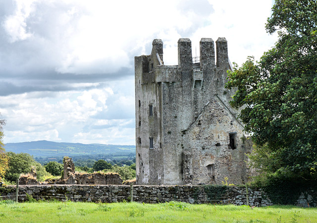 Bawn in KilcashBawn · 2.5 mi
 The SpoutMemorial · 3.0 mi
 SheegounaMountain / peak · 3.2 mi