What is recorded here
Grave Yard occupies elevated ground immediately south of Ballyhaunis friary church in County Mayo, forming an L-shaped basin where gravel paths wind through dense rows of Celtic crosses and plain stone markers. The southern third drops steeply toward the abbey avenue, forcing visitors to descend into a crowded landscape where centuries of local death have compressed the soil into memory. Some may wonder whether the oldest unmarked crosses belong to people buried before the friary rose, but the stones themselves offer no answer, only a warning that even forgotten lives can occupy more space than history admits.
Occupies elevated ground, immediately S of Ballyhaunis friary church (MA093-063002-).
L-shaped area (c. 70m N−S; c. 81m E−W at N; c. 45m E-W at S) bordered at E and S by field fences and a line of trees, and at W by a steep scarp which drops to the entrance avenue to the abbey. The N portion of the graveyard encompasses relatively level ground but the S third slopes steeply down to S. The graveyard is grass-covered, with a network of gravel paths winding through it.
There is high density of graves. The majority are marked by inscribed headstones in a variety of styles, including ‘Celtic crosses’, dating to the period 18th to 20th century. Some grave plots are bordered by a low concrete surround, and a few have metal railings. There are a several ledgers in the E part of the graveyard. Interspersed amidst the formal headstones are a few small uninscribed stone gravemarkers, roughly-shaped to the form of a cross, and occasional simple metal crosses.
Knox (1911, 334-336) postulated that the graveyard overlies or incorporates earthworks (MA093-063001-) that might pre-date the friary.
Attached images:
MA093-063004-_01.JPG Graveyard viewed form SE
MA093-063004-_02.JPG Simple stone cross gravemarker
MA093-063004-_03.JPG Steep S slope of graveyard
MA093-063004-_04.JPG Ledgers in the E part of the graveyard
Compiled by: Jane O’Shaughnessy
Date of upload: 7 December 2022
The monument record does not grant public access. Check the route and ask the landowner before entering private land.
- What survives
- Recorded monument
Places near here
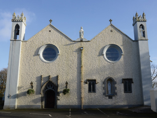 Saint Mary's Catholic Churchchurch/chapel · 43 yd
 post boxpost box · 82 yd
 Enclosure in DevlisEnclosure · 831 yd
 Enclosure in KilmanninEnclosure · 1100 yd
 CastleCastle, unclassified · 2.4 mi
 Rath Castle in ruinsCastle, tower house · 5.9 mi
 Oak WoodForest · 10 mi
 Land of the GiantsHeritage attraction · 10 mi
 Geoffrey's WoodForest · 11 mi
 Site of Killomaine Grave YardArchaeological place · 15 mi
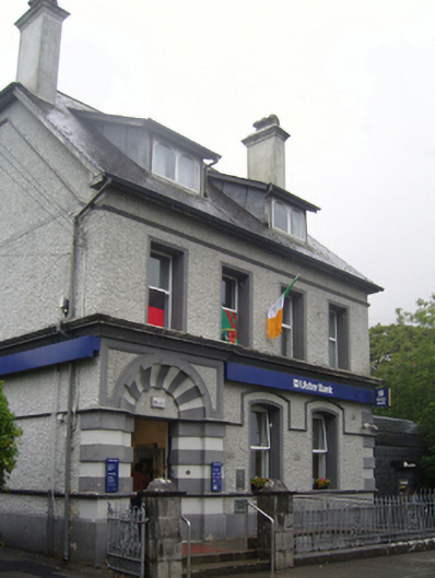 Ulster Bankbank/financial institution · 141 yd
 bridgebridge · 173 yd