What is recorded here
On a slight rise in an area of gently undulating mixed pasture and tillage. A D-shaped area (diam. c. 40m ENE-WSW) with a fairly straight E-side (L c. 50m) contains a ruined church (KD027-012----) and a font (KD027-012002-). Legible grave markers date from the 18th to the 20th-century. (http://www.kildare.co/Graveyard-Details.asp?ID=K119)
Compiled by: Gearóid Conroy
Date of upload: 31 August 2012
The monument record does not grant public access. Check the route and ask the landowner before entering private land.
- What survives
- Recorded monument
Places near here
 Church (in Ruins)Church · 8 yd
 Site of CastleCastle, unclassified · 180 yd
 Enclosure in DuneanyEnclosure · 1246 yd
 Walls of ChurchChurch · 1590 yd
 Concentric enclosure in Walterstown (nurney Ed)Concentric enclosure · 1.2 mi
 Brookfield WoodWood · 1.5 mi
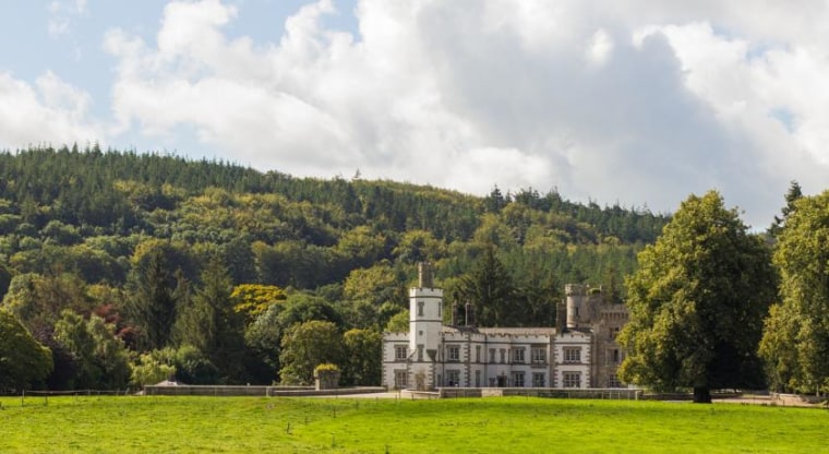 CastleCastle, unclassified · 1.8 mi
 Sitka SpruceSitka Spruce · 2.7 mi
 Horse MuseumMuseum · 3.0 mi
 Japanese GardensHeritage attraction · 3.0 mi
 Battle of Kilrushbattle · 5.8 mi
 Bithia Mary CrokerMemorial · 7.1 mi