What is recorded here
West Cork: A disused graveyard holds a rectangular pasture enclosure, its low earthen bank surrounding a flat space now scattered with field stones. No gravemarkers remain, and the church that likely gave the place its purpose has vanished without a visible trace. The land has become a quiet dump for stone and memory, preserving the shape of burial while losing the names that once filled it.
In pasture, rectangular enclosure (34m N-S; 28m E-W) defined by low, earthen bank (H 0.5m). Flat interior used as dump for field stones; no gravemarkers. Church (site of) marked on OS 6-inch map (1944); no visible trace.
The above description is derived from the published 'Archaeological Inventory of County Cork. Volume 1: West Cork' (Dublin: Stationery Office, 1992). In certain instances the entries have been revised and updated in the light of recent research.
Date of upload/revision: 14 January 2009
This remains an important historical record, but the official description says the monument is no longer visible or has been destroyed. The monument record does not grant public access. Check the route and ask the landowner before entering private land.
- What survives
- No visible remains or recorded as destroyed
Places near here
 Dromore Schoolschool · 659 yd
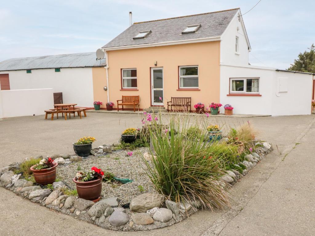 LisheenFairy fort / stone ringfort · 921 yd
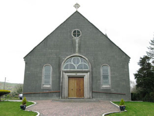 St. Joseph's Roman Catholic Churchchurch/chapel · 1009 yd
 Fulacht FianFulacht fia · 1286 yd
 Francis O'Neill PlaqueMemorial · 1.8 mi
 Baugorm Castle (Site of)Castle, unclassified · 2.4 mi
 Trawlebane WalkWalking route · 2.6 mi
 Ballyourane Castle (in Ruins)Castle, unclassified · 2.7 mi
 Moyny Bridge WalkWalking route · 3.1 mi
 Mullach MéiseMountain / peak · 3.6 mi
 Mount KidMountain / peak · 3.9 mi
 Seskin ViewViewpoint · 4.3 mi